
Arizona Recreation Opportunities
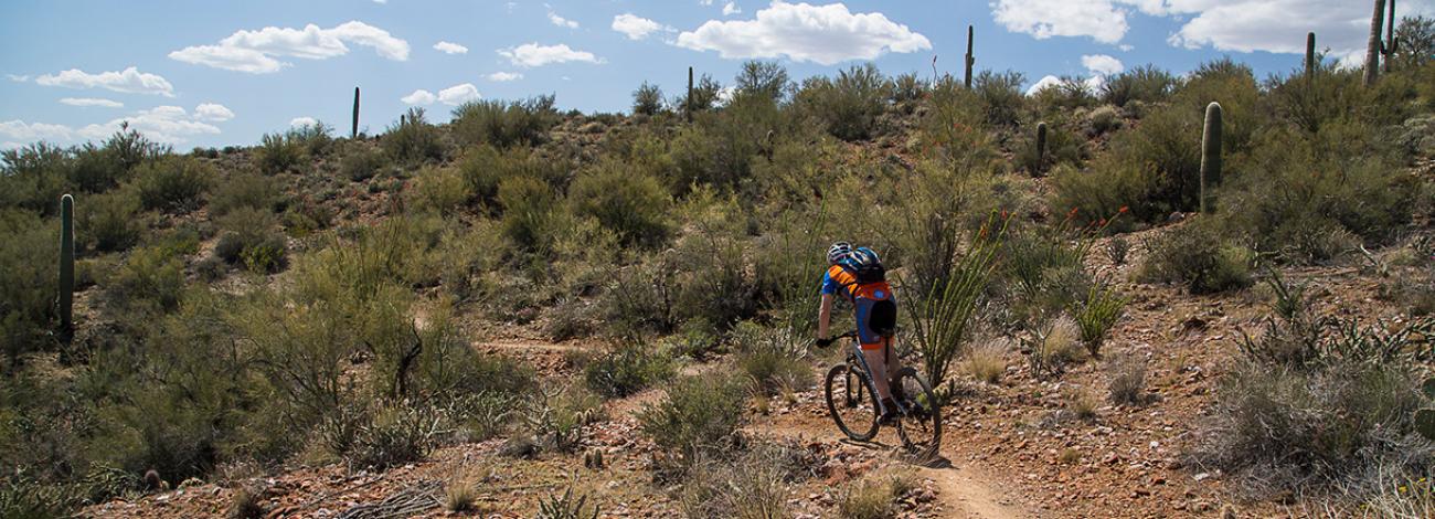
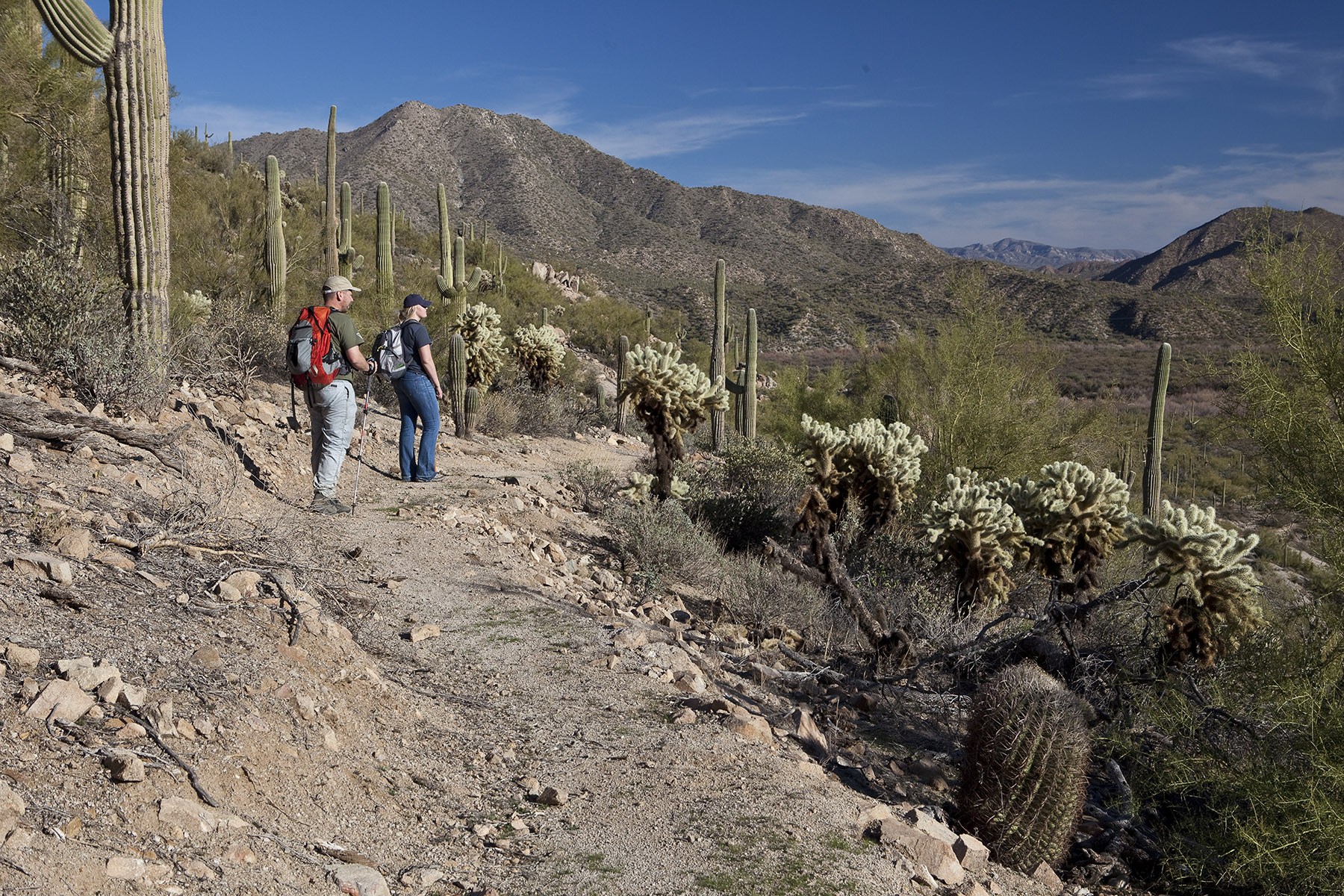
Bureau of Land Management (BLM) Arizona public lands offer a variety of landscapes and outdoor experiences. Hiking, camping, hunting, target shooting, fishing and boating are just some of the many activities to enjoy on your public lands.
Check to see if you need a permit or a pass and if there are any advisories or closures before heading out.
Enjoy visiting public lands, and please take care of these lands like they were your own — because they are!
Find your next adventure!

Fees, Permits and Passes
To help maintain recreation opportunities on public lands and enhance visitor experiences, certain fees, permits, and passes may be required depending on the activity and location. When you are planning your visit to public lands, understanding the fees, permits, and passes you'll need is essential for a smooth and enjoyable experience.
Always check the specific recreation site’s webpage before your visit.
Fees may apply at recreation sites and areas including, but not limited to:
- Day-use areas
- Campgrounds
- Boat launches
- Long Term Visitor Areas
Payment methods vary by site and may include on-site fee stations or online at Recreation.gov. The America the Beautiful – National Parks and Federal Recreational Lands Passes provide free access to BLM public lands where a Standard Amenity Fee (e.g. day use fee) is charged. Some campgrounds and other recreation sites may offer discounts for overnight use with these passes.
For public safety and land health, the BLM also provides access to multiple recreation sites through public lottery and permit systems. You can apply for and purchase recreation permits online to visit BLM special areas in Arizona — Aravaipa Canyon, Coyote Buttes North (The Wave), Coyote Buttes South, and Paria Canyon.
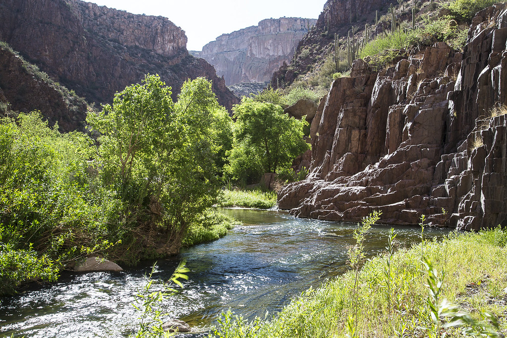
- Aravaipa Canyon Wilderness
You must have a permit for recreational use of Aravaipa Canyon. You can get permits only through Recreation.gov.
Learn more about Aravaipa Canyon permits.
- Coyote Buttes North (The Wave) and Coyote Buttes South
You must have a permit to visit Coyote Buttes North (The Wave) and Coyote Buttes South. Permits are available for day use only. There is a daily limit on permits. Permits for Coyote Buttes North (The Wave) are offered through a lottery.
- Paria Canyon
You must have a permit to visit Paria Canyon.
Day use: Day-use permits are available at a self-permitting station at trailheads.
Overnight trips: You must have an advance permit for overnight use of Paria Canyon. Overnight use is limited to 20 people per day.
- U.S. Air Force Barry M. Goldwater Range
You must have a Barry M. Goldwater Range Permit for these authorized areas of Sonoran Desert lands in southwestern Arizona:
- Barry M. Goldwater Range - East public areas: Area B, Bender Springs, and the Ajo Air Station
- Barry M. Goldwater Range - West public areas
- Area A of the Sonoran Desert National Monument
- Cabeza Prieta National Wildlife Refuge
The U.S. Air Force has changed the way we issue Barry Goldwater permits. The new system utilizes an online system. Learn more about Barry M. Goldwater Range permits.
You must create an account online, watch the required safety video, acknowledge you agree to the stipulations, and print a permit.
The Phoenix District Office Public Room and the Arizona State Office Public Room no longer issue the permits manually at the front desk. We can only provide instructions on the system. You will need to use the permit site and print the permit from your home computer.
Recreational activities on nearby state trust land require a permit from the State of Arizona.
Commercial, competitive, and large organized group events require a special recreation permit. Contact the local managing field office for more information about special recreation permits.
Advisories and Closures
- Starting Nov. 1, 2025, the camping limit at Mittry Lake will change from 10 days per calendar year to 14 days within a 28-day period. Read the announcement.
- The parking area at Vulture Peak Lower Trailhead is temporarily closed. This map shows an alternative parking area and route to reach the Vulture Peak Trail south of Wickenburg, Arizona.