

Aravaipa Canyon Wilderness Permits | Arizona
Overview:
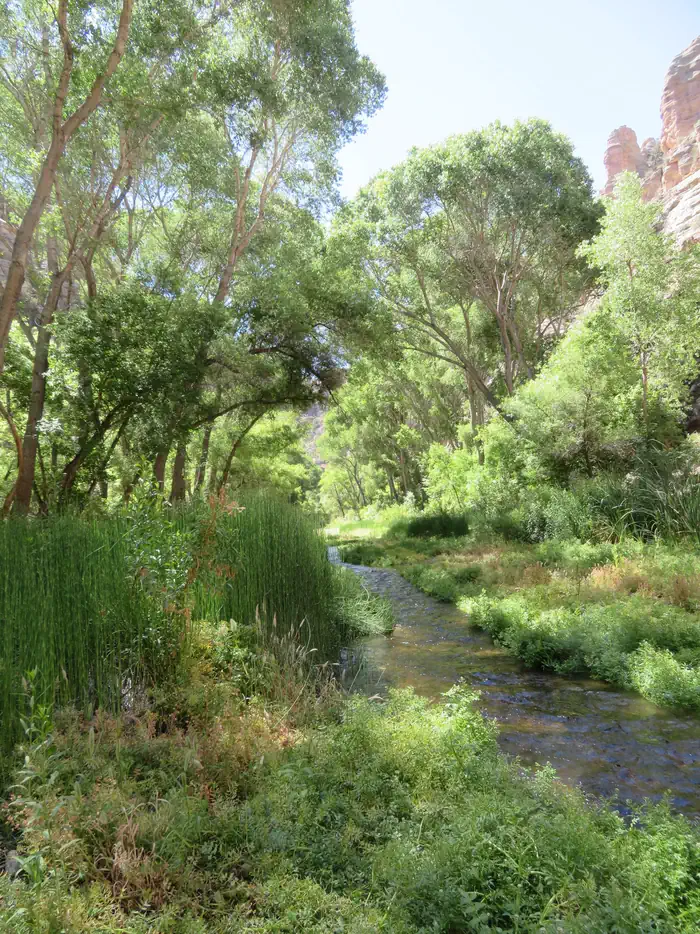
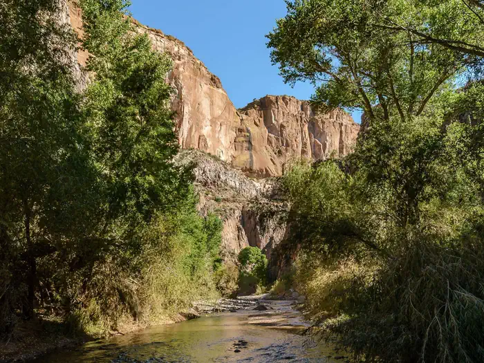
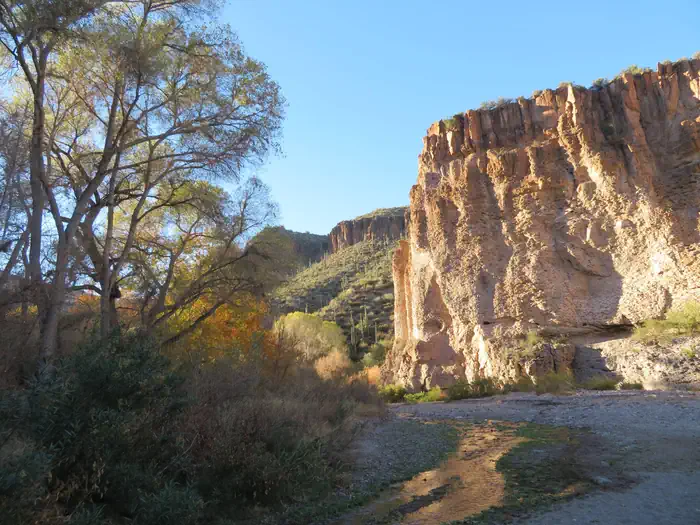
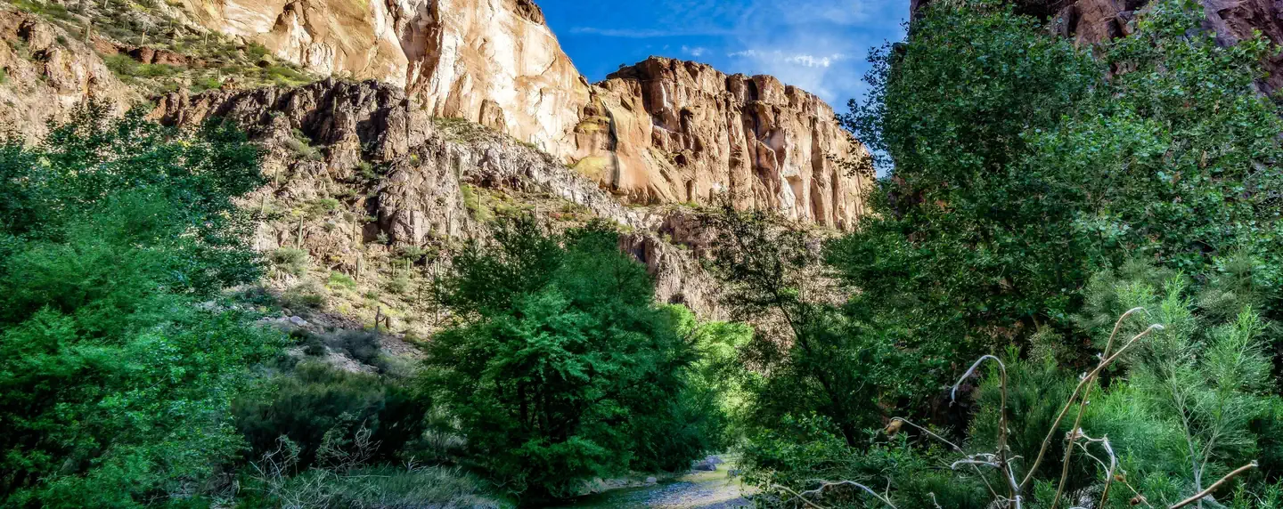
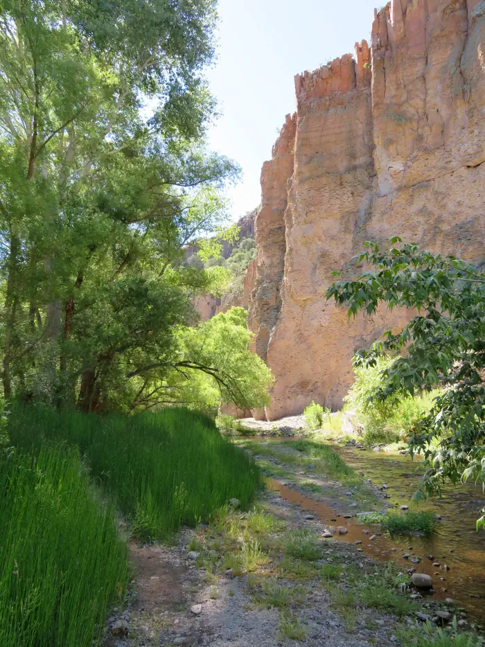
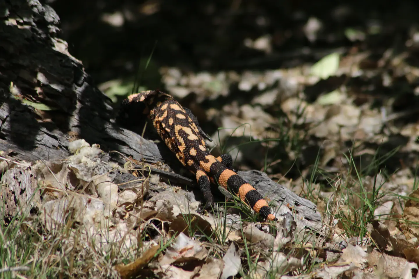
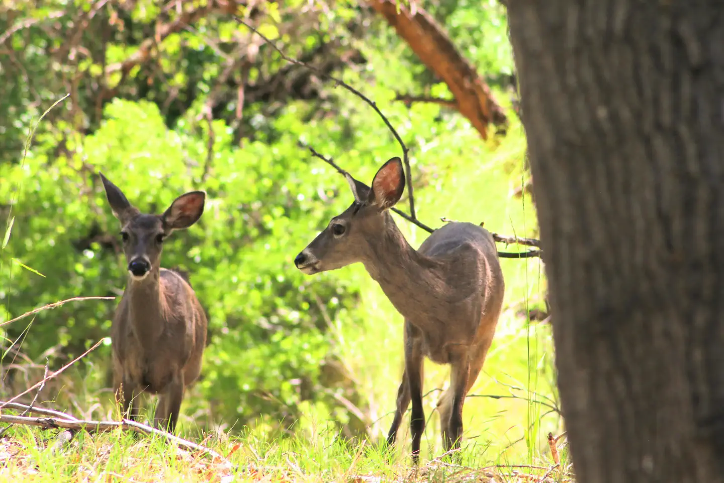
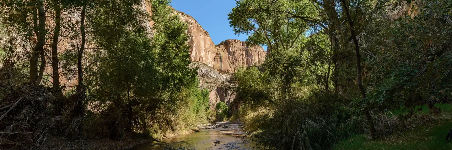
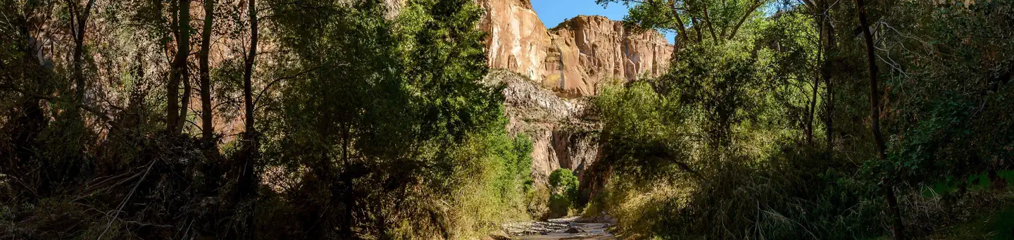
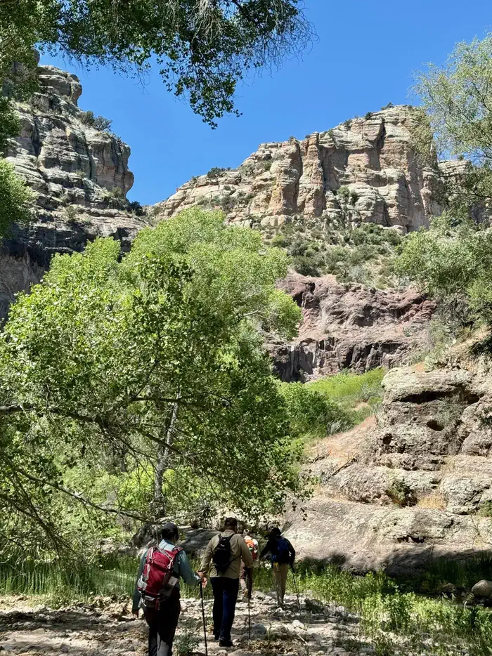
With towering cliffs, flowing water and a rich diversity of flora and fauna, Aravaipa Canyon Wilderness remains as one of Arizona's truly unique areas. Its 19,410 acres of designated Wilderness beckons adventurers who yearn for solitude and scenic splendor. Located in southeast Arizona, roughly between Tucson and Phoenix, the Wilderness and surrounding public and private land conserve a vital ecosystem for future generations.
The Bureau of Land Management (BLM) manages Aravaipa Canyon Wilderness to protect its essential wilderness character and fragile environment while providing the visitor with a world class opportunity for primitive and unconfined recreation.
Expect the wild! There are no designated trails, campsites, signs, or facilities within the wilderness boundaries. The land is rugged and hikers should be in good condition to pass through dense riparian vegetation (a sign of a healthy ecosystem). All visitors should wear sturdy footwear suitable for hiking in sand, gravel, and cobble with potential for numerous stream crossings in knee-deep water.
From the West trailhead (2,630 feet), expect a continuous 430 feet elevation gain over uneven terrain for 12.25 miles to the East trailhead (3,060 feet).
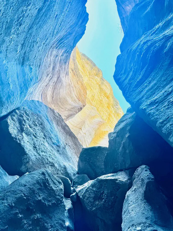
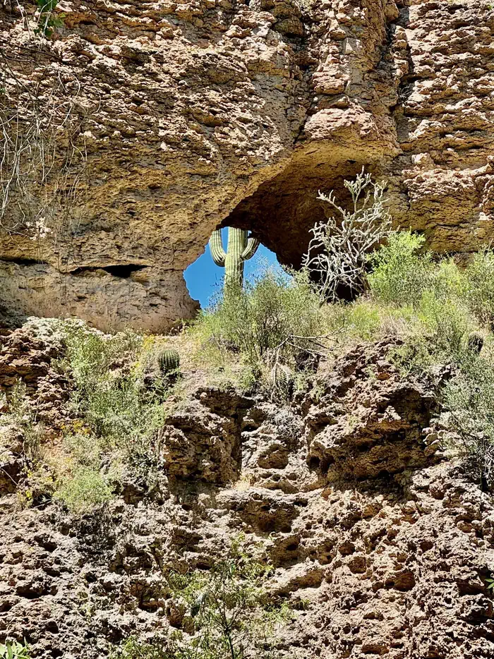
There are multiple side canyons, caves, outcrops, chimneys, and "windows" to explore along your way. Strong or destination hikers can traverse from end to end in 8 to 10 hours, while nature watchers, photographers and those wanting to explore side canyons may take one or two nights.
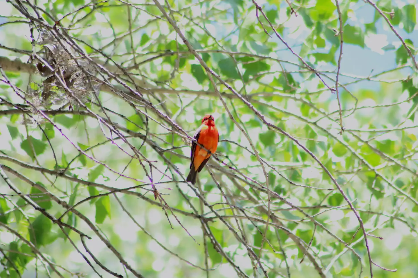
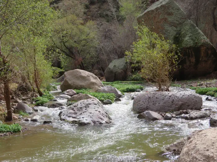
Aravaipa Creek flows year-round, an unusual phenomenon in the Arizona desert. Nurtured by this abundant water, large sycamore, ash, cottonwood, and willow trees flourish along the stream, flanked by other riparian vegetation. In the fall, a kaleidoscope of brilliant red and golden leaves contrasts dramatically with the surrounding Sonoran Desert landscape.
Photos

Contact Us

Addresses
Geographic Coordinates
Directions
-