
Vermilion Cliffs Highway | Arizona
Vermilion Cliffs Highway embarks from the spectacular Virgin River Gorge, south of St. George, Utah, to the Navajo Nation Indian Reservation in the east.
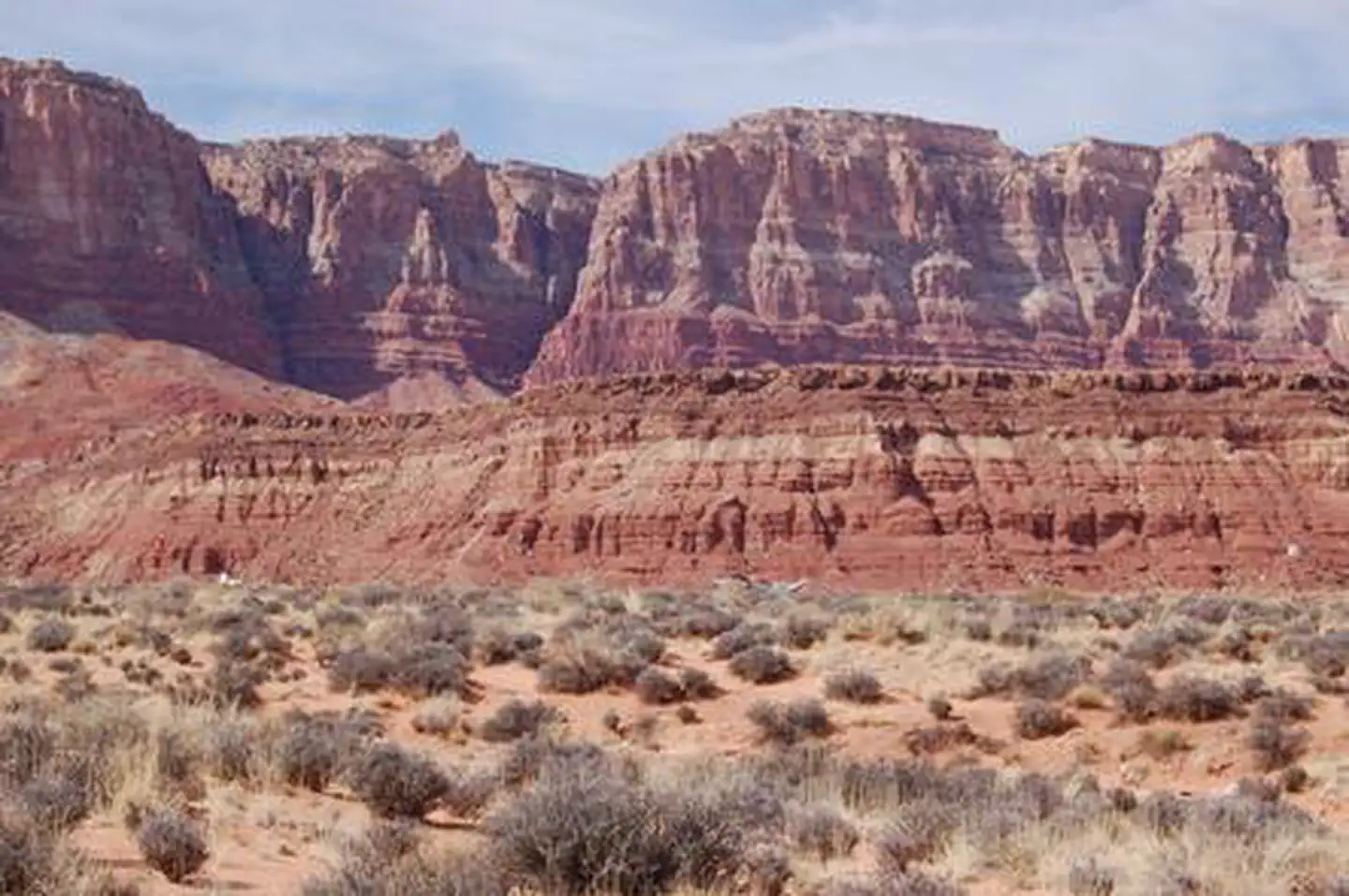
The Vermilion Cliffs Highway traverses some of the most vast and picturesque landscapes in the West. You can follow 277 miles of paved highways, passing through small rural communities. Scenic overlooks and historic sites along the highways show how people explored and survived in this remote area of northern Arizona.
In many cases, the highways follow historic transportation routes used for centuries by different cultures from American Indian tribes, Spanish explorers and pioneers to modern travelers.
Photos
Contact Us

Activities


Addresses
Directions
Interstate 15, and Highway 9 - On the western end of the highways corridor is Interstate 15, and Highway 9. These segments breach what was once a formidable barrier to transportation created by the Beaver Dam and Virgin Mountains. These segments also graphically show the abrupt change from the more somber Basin and Range Physiographic Province in the west to the colorful, layer-cake geology of the Colorado Plateau Province to the east. The power of moving, folding land masses is evident everywhere, especially in the Virgin River Gorge where the Grand Wash Fault line plays a prominent role in the lay of the land.
Fees
None