

Agua Fria National Monument
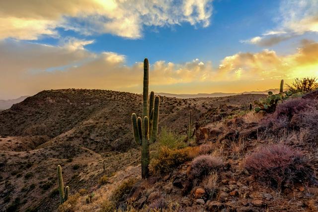
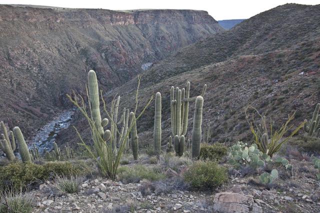
Agua Fria National Monument, located just north of Phoenix, Arizona, protects two broad mesas, the canyon of the Agua Fria River, and a rich cultural landscape. The monument contains hundreds of cultural sites, including stone‑masonry pueblos and petroglyph panels that reflect thousands of years of human history. It is an exceptional place to learn about and appreciate our nation’s cultural heritage within a remote and rugged desert setting.
Get Involved
Partner
Friends of Agua Fria provides invaluable support to the National Monument. Visit their webpage to learn how they help preserve Agua Fria’s unique natural and historic resources and how you can get involved.
Contact Us
This site is managed by Hassayampa Field Office; visit their page for office hours and directions.
[email protected]
602-867-5400
Quick Facts
- Creation Proclamation
- Established January 11, 2000
- 70,900 acres
Photo Album
