
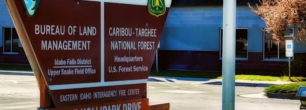
Upper Snake Field Office
The Upper Snake Field Office (USFO) is the largest field office in the Idaho Falls District, managing about 1,854,000 acres of BLM-administered lands in eastern Idaho. The boundaries of the field office include Craters of the Moon to the west, Wyoming to the East, Montana to the north, and the Snake River and Bonneville County Line to the south. The major programs managed by the field office include grazing, recreation, and realty.
The USFO offers one of the most dynamic and complex recreation programs in the BLM. Whether fishing or floating the internationally renowned South Fork of the Snake River, taking an exhilarating buggy ride on the St. Anthony Sand Dunes, or a quiet stroll on the Cress Creek Nature trail, there is an impressive variety of recreational activities for enthusiasts of all ability levels. With over 250,000 visitors a summer, the South Fork of the Snake River is one of the most sought-after fishing destinations. Likewise, the St Anthony Sand Dunes offers over 10,000 acres of continuous sand dunes for those interested in recreating on public land. The Dunes also see approximately 250,000 visitors a year.
The USFO realty staff administers more than 700 Rights-of-Ways, with an average of 30 new applications for Rights-of-Ways each year. Rights-of-Way include roads, communication sites/towers, power lines, agriculture, fiber optic lines, canals, and aquifer recharge. The USFO range staff manages 350 grazing allotments across the field office, ranging in size and complexity from less than 20 acres (Hawkins Spring) to over 269,000 acres (Twin Buttes) of rangeland. The USFO recreation staff manage two large Special Recreation Management Areas (SRMA), four travel management areas, several developed campgrounds and seven dispersed camping areas, six boat access areas, trails and trailheads, 11 Wilderness Study Areas and administer special recreation permits for commercial and competitive events. Zoned forestry staff manage 100,000 forested acres in the Upper Snake Field Office. Over the last ten years, about 1000 acres have been treated, including timber sales.
Leadership
Latest News
Contact
Idaho Falls, ID 83401
TTY/Relay System
If you are deaf, hard of hearing, or have a speech disability, please dial 7-1-1 to access telecommunications relay services.