
Cress Creek Nature Trail | Idaho
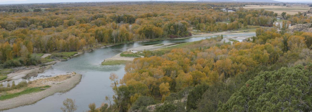
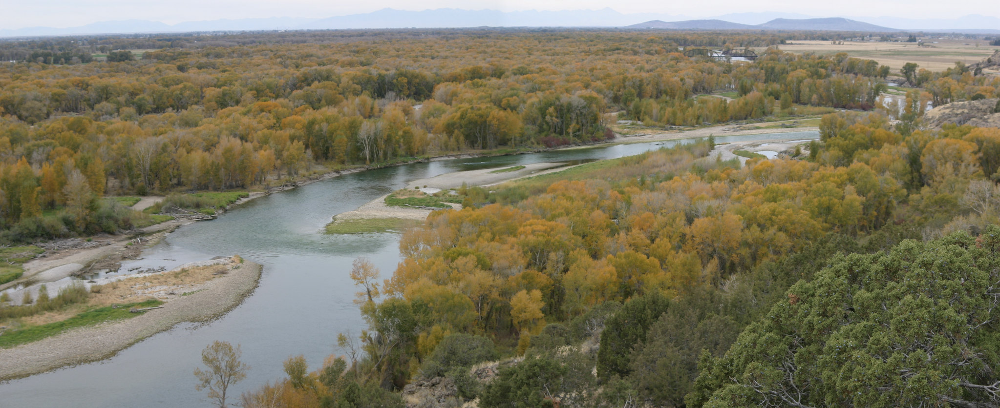
Along the scenic South Fork of the Snake River, the 1-mile Cress Creek Nature Trail interprets life in the area as it is now and as it was long ago. The trail climbs through sagebrush-grass communities, over juniper-covered slopes, and along a lush perennial creek. The watercress plant, a favorite food of moose, gives the creek its name. If you hike quietly you may see deer, rabbits, small lizards, or possibly an eagle or a moose. When skies are clear, prepare for an expansive view of the Snake River, volcanoes and surrounding farmland.
The nature trail is self-guided, with interpretive signs along the way. The first 1 mile is wheelchair-accessible.
Photos
Contact Us

Activities


Addresses
Directions
About 20 miles northeast of Idaho Falls, Idaho. From Idaho Falls, take the North Yellowstone Highway north through town. Follow Highway 26 northeast towards Ririe and Jackson. About 3 miles past the Ririe turnoff, follow the signs to Heise. Bear right after crossing a large irrigation canal. Cross the Snake River and turn left immediately onto the gravel road headed towards Rexburg. After 1 mile, the trailhead parking area is on the right side of the road.
Fees
No fees.