
Idaho Falls District Office
The Idaho Falls District, located in southeast Idaho, manages approximately 3.7 million acres of public land. The topography and terrain differ substantially throughout the area, ranging from sagebrush and desert to high-elevation forests. The District itself incorporates 16 counties, with Montana to the north and Utah to the south. The western edge borders the Craters of the Moon National Monument and Preserve, with the eastern edge extending to the beautiful Teton mountain range.
With such a diverse geographic area, the Idaho Falls District has many challenges to face as it balances its mission of multiple use and sustainable yield to achieve a sustainable ecosystem. Some of the major activities occurring within the district include: grazing, recreation, mining, wildlife and fisheries, fire management, riparian and wetland management, realty and land use.
The Idaho Falls District is divided into four geographic areas/field offices: Challis (799,000 acres), Salmon (493,000 acres), Upper Snake (1,854,000 acres) and Pocatello (557,000 acres).
Leadership
Offices
P.O. Box 817
721 East Main Avenue Suite 8
Challis, ID 83226
United States
4350 Cliffs Drive
Pocatello, ID 83204
United States
1206 South Challis Street
Salmon, ID 83467
United States
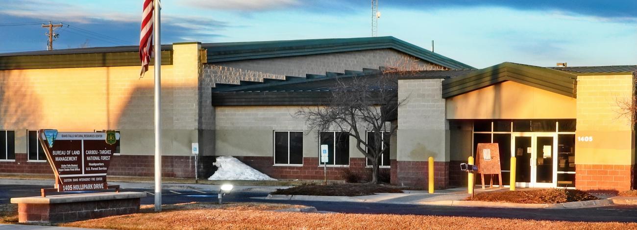
1405 Hollipark Drive
Idaho Falls, ID 83401
United States
Latest News
Contact
Idaho Falls, ID 83401
TTY/Relay System
If you are deaf, hard of hearing, or have a speech disability, please dial 7-1-1 to access telecommunications relay services.