
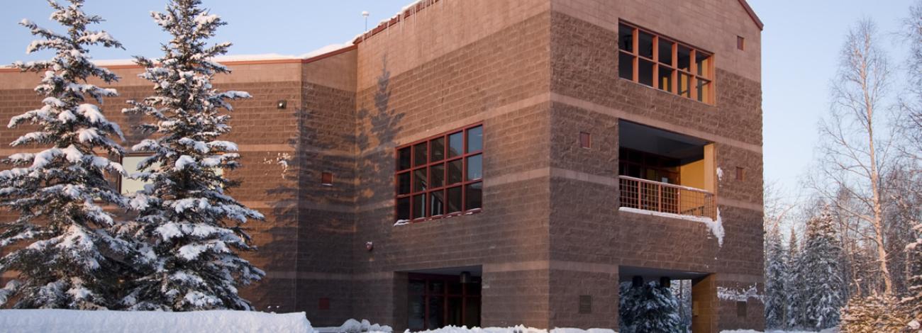
Eastern Interior Field Office
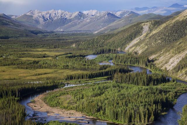
Public lands managed by the Eastern Interior Field Office cover 6.5 million acres in the east-central Alaska, in the traditional territories of the Tanana, Tanacross, Upper Tanana, Hän, and Gwich'in peoples. These public lands provide important areas for subsistence for 17 rural communities located along the upper Yukon and Tanana Rivers. The area also includes Alaska’s second largest city, Fairbanks, and three miliary bases.
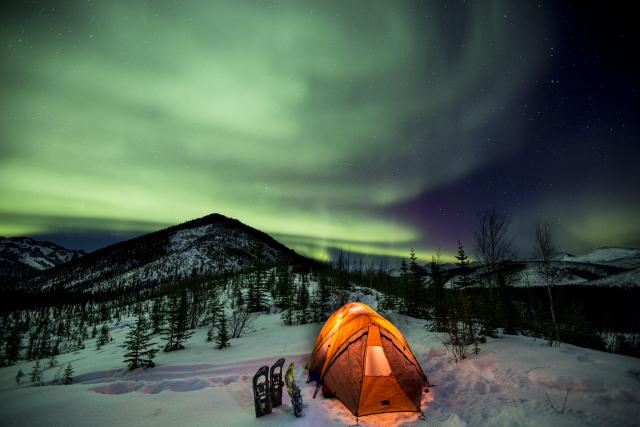
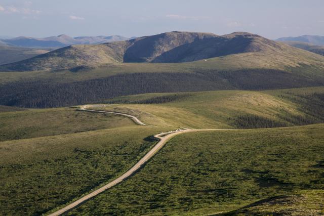
The field office is a focal point for current-day mining, tourism, and outdoor recreation, as well as unique attractions such as the Yukon Quest sled dog race and visible northern lights an average of 200 nights per year.
Recreation Areas
Steese National Conservation Area
White Mountains National Recreation Area
Beaver Creek Wild and Scenic River
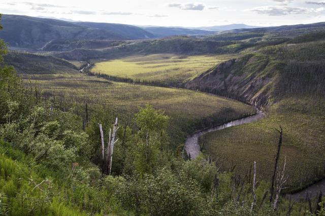
Birch Creek Wild and Scenic River
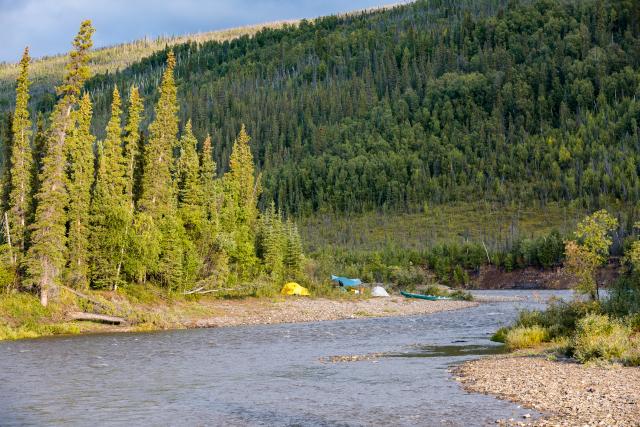
Fortymile Wild and Scenic River
Pinnell Mountain National Recreation Trail
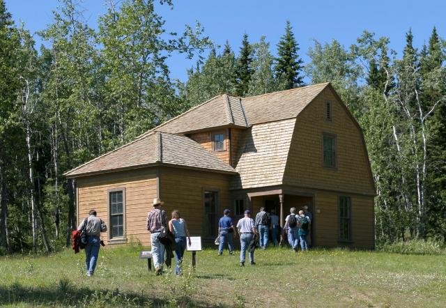
Fort Egbert National Historic Site
Visitor Centers
Fairbanks Morris Thompson Cultural Visitors Center
Tok Main Street Visitor Center
Campgrounds and Cabins
White Mountains National Recreation Area
Fortymile Wild and Scenic River
Brochures
Steese and Elliott Highways Guide
White Mountains Winter Map & Guide
Steese-Whites Summer OHV Factsheet
Beaver Creek Wild and Scenic River
Birch Creek Wild and Scenic River
Fortymile Wild and Scenic River
Georeferenced Maps
Nome Creek Valley - White Mountains National Recreation Area
Pinnell Mountain National Recreation Trail - Steese National Conservation Area
Birch Creek Wild and Scenic River - Steese National Conservation Area
Fortymile Wild and Scenic River/Taylor Highway
Federal Subsistence Hunt Maps
20E Map - Chicken, Walker Fork and Jack Wade Area
20E Map - Taylor Highway Logging Cabin Creek
Leadership
Angela Yemma
Latest News
Contact
Fairbanks, AK 99709
TTY/Relay System
If you are deaf, hard of hearing, or have a speech disability, please dial 7-1-1 to access telecommunications relay services.