
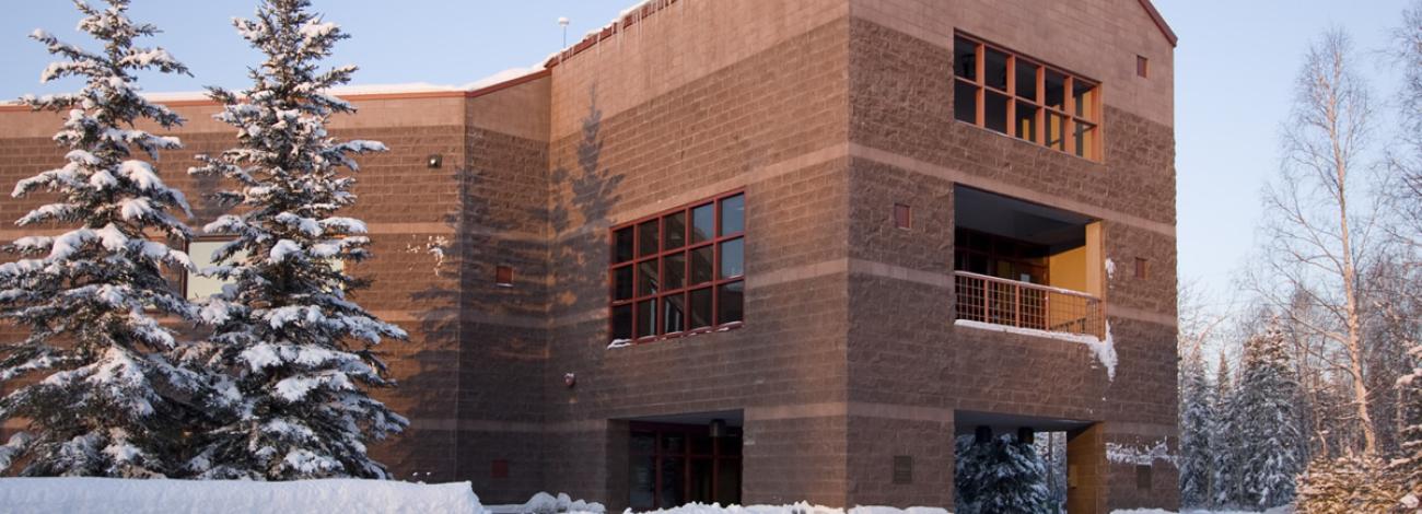
Central Yukon Field Office
From its office in Fairbanks, the Central Yukon Field Office manages approximately approximately 13.3 million acres in central Alaska, in the traditional territories of the Inupiaq, Koyukon, Gwich’in, and Tanana peoples. These public lands provide important areas for subsistence for 24 rural communities, including 20 Tribal villages, located along the Yukon and Koyukuk Rivers.
The area includes a 2.5-million-acre utility corridor for the Dalton Highway, Trans-Alaska Pipeline System (TAPS) right-of-way, and other infrastructure to connect Interior Alaska to the north slope oilfields.
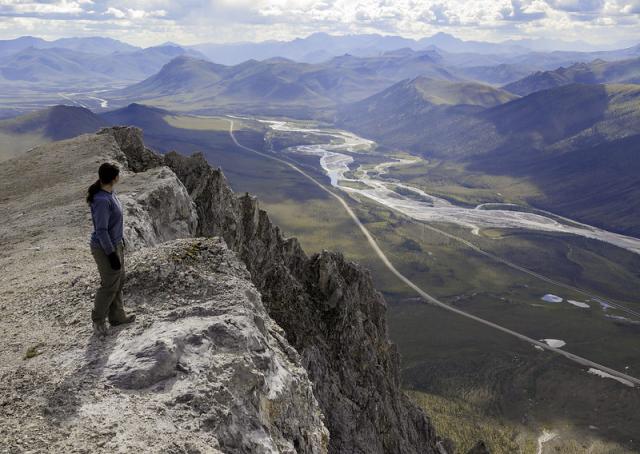
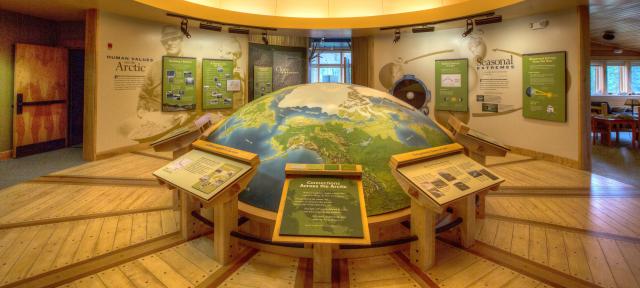
The BLM-managed utility corridor stretches from the Yukon River north through the mountains of the Brooks Range, passing through the boreal forest, over the mountains into the treeless, tundra landscapes of the Arctic. During the summer, the field office maintains recreation sites and staffs two facilities along the Dalton Highway: the Arctic Interagency Visitor Center in Coldfoot and a visitor contact station at Yukon Crossing.
These lands provide for the livelihoods of local communities and support unforgettable recreation opportunities as well as supporting important infrastructure for the oilfields on the north slope.
Dalton Highway Recreation Sites
Yukon Crossing Visitor Contact Station (mile 56 Dalton Highway)
Finger Mountain Wayside (mile 98 Dalton Highway)
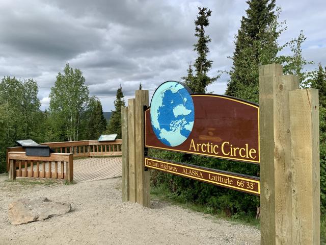
Arctic Circle Wayside (mile 115 Dalton Highway)
Arctic Interagency Visitor Center (mile 175 Dalton Highway)
Coldfoot Winter Cabin (mile 175 Dalton Highway)
Campgrounds
Brochures
Dalton Highway Watchable Wildlife Sheet
Bird Watching Along the Dalton Highway Brochure
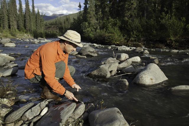
Panning for Gold Along the Dalton Highway
Georeferenced Maps
Heading out for a remote adventure? No cell coverage? No problem. The BLM has developed georeferenced maps compatible with any georeferenced map mobile application. Learn more about how to use these free digital maps and browse the full collection of BLM georeferenced PDF maps.
Dalton Highway southern region: Fairbanks north to Coldfoot
Dalton Highway northern region: Coldfoot north to Deadhorse
Leadership
Latest News
Contact
Fairbanks, AK 99709
TTY/Relay System
If you are deaf, hard of hearing, or have a speech disability, please dial 7-1-1 to access telecommunications relay services.