Marion Creek Campground | Alaska
Overview
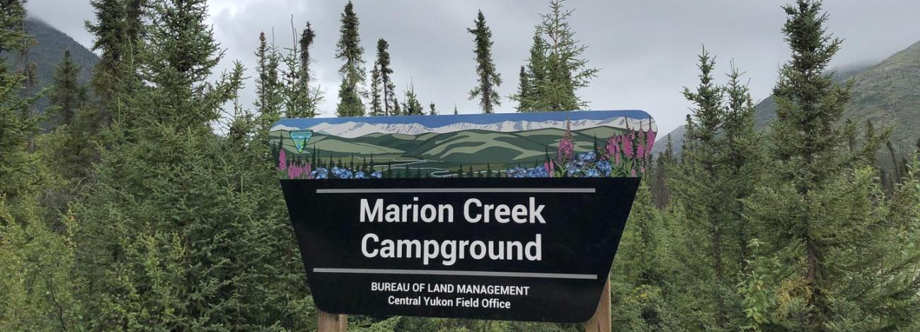
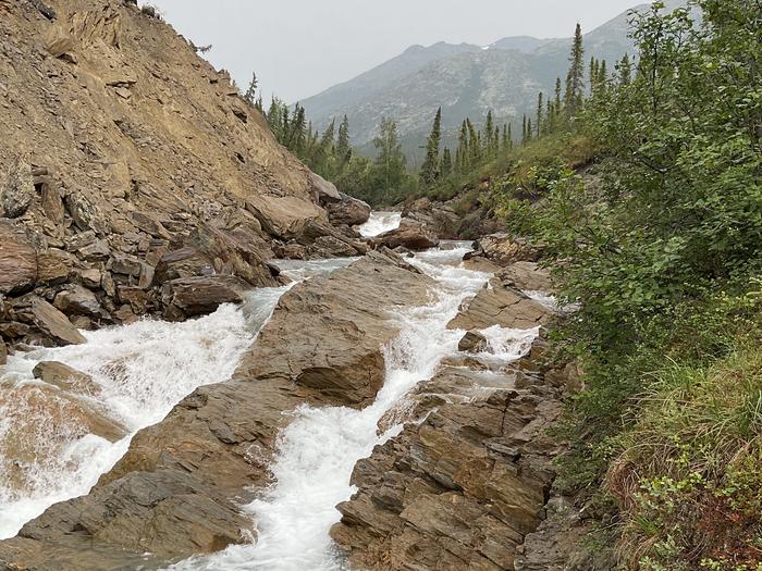
Marion Creek Campground is nestled on the south side of the Brooks Range in the Middle Fork Koyukuk River valley. It offers vistas of the Brooks Range and has access to the nearby undeveloped trail up to Marion Creek falls. The campground is a perfect basecamp for exploring Alaska’s Brooks Range. There are 27 sites, three of which are accessible. The site is located five miles north of Coldfoot.
This location is available on a first-come, first-serve basis only. Visitors are required to physically arrive at the campground to claim and purchase a site. Once on-site, you can pay for your campsites(s) by scanning a QR code using the Recreation.gov mobile app. Download the free Recreation.gov mobile app on Android or iOS prior to your arrival as this is a remote area that has limited or no cellular service. More reliable cellular service can be found 5 miles south in Coldfoot.
Recreation
The Brooks Range offers excellent recreation opportunities. Explore undesignated routes from the Dalton Highway. Hiking is plentiful up and into the mountains where ridges and drainages provide firm footing, and the forest thins to low-growing tundra. Hiking east from the highway will lead you to the Arctic National Wildlife Refuge, while hiking west of the highway will take you towards Gates of the Arctic National Park and Preserve. Choose your route with care, let someone know where you plan on going, carry bear deterrent, and bring topographic maps, a GPS, and a compass with you.
Panning for gold is allowed on a few federal stream segments along the Dalton Highway south of Atigun Pass (Milepost 244). No panning is permitted in the pipeline right-of-way (27 feet/8.2 m on either side of the pipeline) and no panning on federal mining claims without permission. Suction dredging is prohibited in the Utility Corridor. Visit the Arctic Interagency Visitor Center in Coldfoot to get more information on where you may legally pan for gold.
There are several excellent river trips along the Dalton:
• The Jim River and Middle Fork of the Koyukuk River: Class I-II, several access points along the highway.
• Atigun and Sagavanirktok (the Sag) Rivers: Class III-IV+ whitewater, access Atigun at Milepost 271; Sag at MP 306. For expert boaters only.
• Ivishak Wild and Scenic River: Class II, access by chartered air service from Deadhorse or Coldfoot.
Other recreational activities include, bird watching, wildflower spotting/identifying, fishing, bicycling and hunting.
More detailed information on all these activities is available at the Arctic Interagency Visitor Center.
State statute prohibits off-road vehicle use within 5 miles either side of from the highway from the Yukon River to the Arctic Ocean.
Facilities
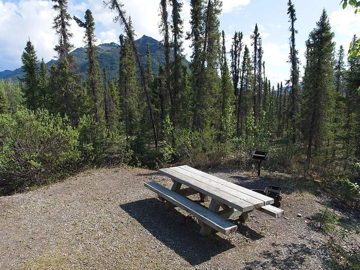
The roads, tenting areas, and parking aprons have a gravel surface. There are 27 sites, one of which is designated accessible. Fourteen sites are pull-through, allowing easy access for RVs. The campground has potable water, vault toilets, and trash receptacles. Each campsite has a fire ring and picnic table. There is no electricity and no dump station. A camp host is onsite, and firewood is available.
Natural Features
The campsites are situated in a spruce forest with wide views of the Brooks Range. Namesake Marion Creek is only a short walk from the campsites. The area provides habitat for squirrels, voles, marten, lynx, wolf, moose, and grizzly and black bears. A variety of birds migrate north to breed in the area and further north. Some of the year-round resident birds include ravens, grouse, chickadees, hawk owls and Canada jays.
Campers can experience 24-hour daylight during a period of about 30 days around June 21, and abundant light the rest of the summer season. In late August and into September bright, fall colors in trees and tundra extend for hundreds of miles. Late August and into September, sky gets dark enough that you have chances to see the aurora borealis.
Nearby Attractions
The original gold rush town of Coldfoot was located on the Middle Fork of the Koyukuk River near the mouth of Slate Creek. It got is name in 1900 when early prospectors reportedly got “cold feet” and left before winter set in.
Today it is small community serving truckers who drive the “haul road” to Prudhoe Bay, as well as visitors. There is a cafe, lodging, a post office, diesel and gasoline fuel, and limited repair service. Coldfoot is a transition point for people accessing the backcountry via small aircraft.
The Arctic Interagency Visitor Center in Coldfoot introduces visitors from around the world to the unique and extreme environment of the Arctic. Explore interpretive exhibits, walk the nearby nature trails, and talk with knowledgeable staff to learn more about the region’s history, natural environment, and recreation opportunities. The visitor center is a partnership between the Bureau of Land Management (BLM), the National Park Service (NPS), and the U.S. Fish and Wildlife Service (USFWS). The Visitor Center is currently open daily from 11:00 a.m. until 9 p.m. from late May to mid-September, with nightly programs at 8:00 p.m.
The historic mining village of Wiseman is a few miles to the north. Just after crossing the Middle Fork of the Koyukuk Bridge #1, take the turnoff to the west and follow the signs three miles (5km) to Wiseman. Established in 1907 when miners discovered gold in nearby Nolan Creek, the town was once a bustling community. Many residents today continue to subsist by hunting, trapping, and gardening. They enjoy sharing their stories with visitors. Note that all buildings in the Wiseman area are private property unless noted. Please stay on the roads.
Travel further north, over Atigun Pass, onto the north slope and coastal plain to experience the dramatic difference from the boreal forest of the Marion Creek Campground area. Landscape is more open, affording chances to see mammals such as Dall’s sheep, muskoxen, caribou, Arctic fox, and Arctic ground squirrels. Also look for birds such wagtails, wheatears, golden eagles, jaegers, longspurs, shore birds, in breeding plumage.
Contact Info
This location has limited staffing. Please call (907) 474-2200 for general information.Charges & Cancellations
No refunds.
Photos
Activities
Addresses
Geographic Coordinates
Directions
Marion Creek Campground is located at mile 180 of the Dalton Highway. It is 5 miles past the village of Coldfoot, on the east side of the highway.
Fees
$12 per night. First come first serve only. Campground is open from mid-May through end of September (depending on snowfall).


