
Utah Frequently Requested Maps
The BLM manages nearly 22.8 million acres of public lands in Utah, representing about 42 percent of the state. Located mostly in western and southeastern Utah, these lands are varied, ranging from rolling uplands to sprawling desert lowlands. Utah’s public lands feature some of the most spectacular scenery in the world, from the snow-capped peaks of remote mountain ranges to colorful red-rock canyons.

BLM Utah Administrative Boundaries Map PDF
Interactive BLM Utah Map - externally available GIS data in an interactive web map!
Utah Land Ownership Map (Town/Range/Sec)
Utah Land Ownership Map - Mobile Friendly (3.08 MB, Town/Range/Sec)
Maps for Purchase
Contact our Public Room by phone, mail, or in person to obtain maps.
- Statewide plotted maps available - call for price information
- $4.00 Surface Management Quads (1:100,000) 27" x 44"
- U.S. Geological Survey Topographic Maps
Travel and Transportation Maps
Comprehensive Travel Management is the proactive management of public access, natural resources and regulatory needs to ensure that all aspects of road and trail system planning and on the management are considered. This includes resource management, road and trail design, maintenance, and recreation and non-recreation uses of the roads and trails. Travel activities in this context, incorporates access needs and the effects of all forms of travel both motorized and non-motorized. View Field Office Travel and Transportation Maps.
Free Georeferenced Maps
The Bureau of Land Management (BLM) is excited to release original maps created to highlight recreation opportunities on public lands across Utah. This suite of maps will provide information on hiking trails, mountain bike trails, auto-tours, OHV trails, and more. Use these tools for your next adventure!
These maps are designed for use on your mobile device and can be displayed on any PDF reader. However, each map is also geo-referenced so that your current location can be displayed on screen in real time. View Utah's Georeferenced Maps!
Wild Horse and Burro HMA Maps
BLM Utah manages 19 wild horse and burro herd management areas on nearly 2.5 million acres. The combined appropriate management level for all HMAs in the state is 1,956 animals. View Utah's herd management areas maps.
Dingell Act Maps
Dingell Act - Emery County Maps
Dingell Act - Additional Maps
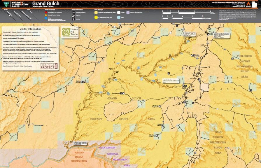
Popular Maps
- Moab Camping (GeoReferenced)
- Grand Staircase-Escalante National Monument
- Bears Ears National Monument (GeoReferenced)
- Eastern Lake Mountains Target Shooting Closure
- Factory Butte OHV Map
- Salt Lake Field Office Target Shooting
- Moonshine Arch
- Chicken Corners Jeep Trail
- Coyote Canyon
- Moab Mountain Bike Trails
- Smithsonian Butte Backcountry Byway
- Gooseberry Mesa (GeoReferenced)
- Robbers Roost (GeoReferenced)
- Lower Calf Creek Falls (GeoReferenced)
Respect and Protect
Help us eliminate the looting and vandalism of America's archaeological, paleontological and historical resources!

Learn more at Treadlightly.org.
Contact Us
State Office Public Room
440 West 200 South, Ste. 500
Salt Lake City, UT 84101
Hours: 8 a.m. - 4 p.m., M-F
Phone: 801-539-4001
Fax: 801-539-4237
Email:
[email protected]