Arizona Frequently Requested Maps
Interactive Map/Data Viewer - This interactive web mapping application helps you easily find, view, and create maps by turning layers on and off.
Maps and Brochures – Explore the growing selection of Arizona maps available for your public lands adventures and business. The BLM Arizona Public Room has a wide range of maps and brochures to help you plan your next trip.
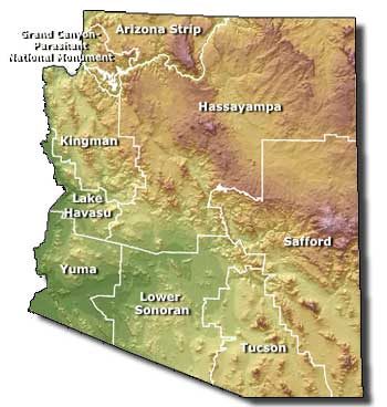
- BLM Arizona Administrative Boundaries
- BLM Arizona Office Locations
- BLM Arizona Surface Management
- BLM Arizona National Conservation Lands
- BLM Arizona Wilderness Areas
Georeferenced PDF Maps - Find and download georeferenced maps for offline use. No cell coverage is needed when viewing these maps in a compatible georeferenced map mobile application on your device. Maps can also be downloaded directly from the BLM Arizona Avenza Map Store.
GIS Data Downloads: Arizona Geospatial Hub - One-stop shop for viewing and downloading BLM Arizona geospatial data. Use a keyword or location to search for and discover the latest geographic data and content shared by the Bureau of Land Management.
Web App and Story Map Gallery - The BLM web app gallery is a great source for exploring public land and resource information. Web apps hosted in the gallery represent many BLM programs, including fire, recreation, and National Conservation Lands. The gallery also includes interactive Story Maps which combine photos, videos, and narrative with maps to tell a story.
Arizona Map Services - Map and feature services allow users to add data to different types of client applications such as ArcGIS Online or Google Earth without having to download and symbolize the data. When changes are made to the data, they are automatically updated in the user’s map. BLM Arizona is working to increase the number of data sets available in this format.