
Colorado Frequently Requested Maps
Web Maps
- BLM Colorado Interactive Map - view and interact with BLM Colorado's GIS data such as mining claims, grazing allotments, wilderness boundaries, surface management agency and more without the need for specialized installed software.
- BLM Colorado Seasonal Closure Map - BLM Colorado implements seasonal closures across the state to reduce disturbance to wintering wildlife during the most stressful time of year. This interactive web map shows the locations of those seasonal closures.
- BLM Colorado Christmas Tree Cutting Areas Map - easily view areas closed, open and recommended for harvesting Christmas Trees on BLM Colorado land and find out information about how to receive permits and other important details for each field office.
- Lakemoor West Fuels Treatment Effectiveness Story Map - The story of the effectiveness of the Lakemoor West fuels treatment during the High Park wildfire by the BLM Colorado Fire and Aviation.
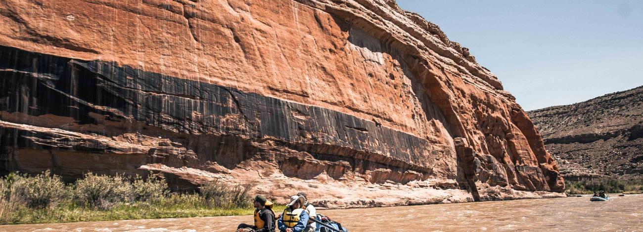
- Upper Colorado River Recreation Guide - Learn about some of the outstanding natural, cultural and historical features, as well as the recreation facilities along the Colorado River from Kremmling to Glenwood Canyon in an interactive story map.
- Storm King 14 Memorial Trail Story Map - This story map details how the Storm King 14 Memorial Trail was built to commemorate the 14 firefighters who lost their lives during the 1994 South Canyon Fire.
- Tres Rios Field Office's Travel Management Web Mapping Application - Tres Rios Travel Management
The BLM is entrusted with managing the land for the use and enjoyment of current and future generations. By working together to develop a designated network of roads and trails, Comprehensive Travel and Transportation Management Planning will protect recreational access to public lands. Please review the verified inventoried routes and comment using our online map. - Upper Colorado River Interagency Fire Management Unit Story Map - Learn about the Upper Colorado River Interagency Fire Management Unit in west-central Colorado with our online story map. The UCR is a wildland fire organization providing a full range of services including fire preparedness, fire suppression, fuels (vegetation) treatments and fire mitigation/education for federal lands.
- Colorado River Valley Field Office Travel Management Map - View the current route designations for the Colorado River Valley Field Office in an easy-to-use online mapping application. Travel Management information per the field office approved Resource Management Plan, Roan Plateau RMP Amendment and Supplemental EIS.
- Grand Junction Field Office Travel Management Map - View the current route designations and travel management area designations for the Grand Junction Field Office.
Data Download
- BLM CO GIS HUB - The Bureau of Land Management Colorado geospatial data library allows users to discover a variety of GIS products published by the agency. You can obtain information on resource management data related to managing public lands. Search results provide download options offering a variety of data formats. These data sets are updated on an ongoing basis. Users of the data should refer to the metadata if they have any specific questions.
- BLM Colorado's Web Services - A service allows the user to add data to different types of client applications such as ArcGIS Online or Google Earth without having to download or symbolize the data. When changes are made to the data, they are automatically updated in the user’s map. BLM Colorado will continue to increase the number of data sets available in this format.