Hassayampa Field Office

Temporary Closure - Saddleback Mountain Recreational Shooting Sports Site - Aug. 10-12, 2026

Bureau of Land Management

Notice of Temporary Closure and Restrictions

OFFICE: BLM Arizona Phoenix District Hassayampa Field Office

ACTION: Temporary Closure and Restrictions

SUMMARY: Notice is hereby given that a temporary closure to all public use and entry is in effect on certain public lands administered by the Hassayampa Field Office in Maricopa County, Arizona. The closure is necessary to address public health and safety and resource protection concerns during road maintenance activities on the access road to the Saddleback Recreational Shooting Sports site. The temporary closure will be in effect for 3 days, beginning 12:01 a.m., August 10th, 2026.

TEMPORARY CLOSURE AND EXCEPTIONS:

The Saddleback Recreational Shooting Sports site access road is closed to all public use and entry during the temporary closure, with the following exceptions:

The temporary closure does not apply to Federal, State, and local officers and employees in the performance of their official duties; members of organized rescue or firefighting forces in the performance of their official duties; and persons with written authorization from the BLM.

RATIONALE: The Bureau of Land Management (BLM) Phoenix District Office’s Hassayampa Field Office needs to complete road repairs on the access road to the Saddleback Recreational Shooting Sports site. This road has experienced significant degradation due to significant rainfall causing erosion. Due to the narrow topography of the area and no other available access, the road must be closed to prevent public access to the work area. This proposal is an administrative action for a 3-day temporary closure to all public use and entry of the access road. The closure is in conformance with the Saddleback Road Repair Closure Categorical Exclusion (DOI-BLM-AZ-P0200-2026-0026-CE)

Under the authority of section 303(a) of the Federal Land Policy and Management Act of 1976 (43 U.S.C. 1733(a)), 43 CFR 8360.0–7, and 43 CFR 8364.1, the BLM will enforce the following closure within the Saddleback Recreational Shooting Sports site and access road.

LOCATION This closure affects public lands in the Church Camp Recreation Area, west of Castle Hot Springs Road and south of SR-74 in Maricopa County, Arizona. The legal description of the affected public lands is: T6N R1W Section 26 NESE and SENE where south of SR-74.

DATES: 12:01 a.m. August 10th, 2026, through 11:59 p.m. August 12th, 2026

NOTIFICATION METHODS AND POSTED LOCATIONS: The BLM will post temporary closure signs at the road access from SR-74 to this area and in the Hassayampa Field Office. The notice, maps of the affected area, and other documents associated with this closure are available at the Hassayampa Field Office, 2020 E Bell Road, Phoenix, AZ 85022, and online at https://eplanning.blm.gov/Project-Home/?id=eee16ad2-5d12-f111-8406-001dd8029ed0 and https://www.blm.gov/office/hassayampa-field-office.

ENFORCEMENT AND PENALTIES: Any person who violates the temporary closures may be tried before a United States magistrate and fined in accordance with 18 U.S.C. 3571, imprisoned no more than 12 months under 43 U.S.C. 1733(a) and 43 CFR 8360.0–7, or both. In accordance with 43 CFR 8365.1–7, State or local officials may also impose penalties for violations of Arizona law.

FOR FURTHER INFORMATION CONTACT (James Holden, [email protected]):

APPROVED BY: 

James Holden, Field Manager, Hassayampa Field Office

/s/ JAMES HOLDEN, July 31, 2026.

Announcement: BLM Announces Temporary Closure of Saddleback Mountain Recreational Shooting Site Road for Maintenance

Map: Saddleback Road Repair Closure Area Map (PDF)

The BLM Hassayampa Field Office manages nearly 1 million acres north of Interstate 10 and an additional 725,000 acres of subsurface estate (mineral interests), including the 70,900-acre Agua Fria National Monument.

Public lands within this field office are near developed and expanding communities and are heavily used. The lands are managed for multiple use and provide diverse recreational opportunities, mining, wildlife habitat, grazing, and wilderness, all overlaying a rich cultural past.

The field office also oversees five wilderness areas, one river segment suitable for Wild and Scenic River Designation, and one Area of Critical Environmental Concern. Additionally, it is home to the Harquahala Mountain Backcountry Byway, the Black Canyon National Recreation Trail, and has one property listed on the National Register of Historic Places.

The BLM Hassayampa Field Office is a part of the BLM Phoenix District.

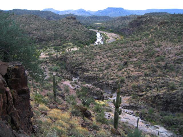
The Agua Fria National Monument is expansive mosaic of semi-desert area one of the most significant systems of prehistoric sites in the Southwest.
Agua Fria National Monument
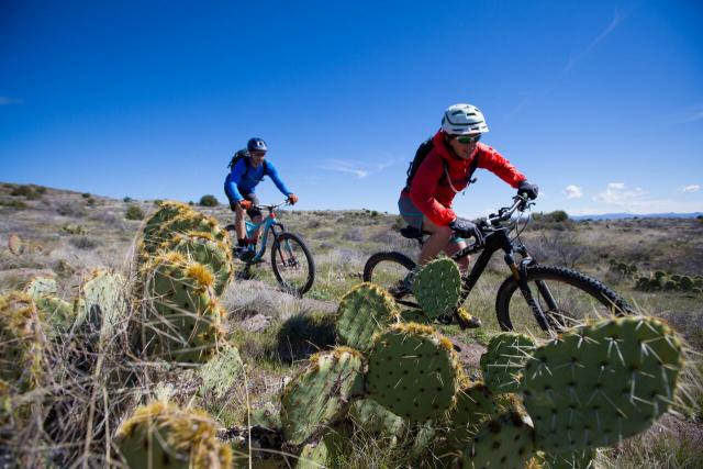
The 80-mile Black Canyon Trail provides mountain bikers with a long range back country trail riding opportunity.
Two mountain bike riders in the desert on a singletrack trail. Large cactus in the foreground and bright blue sky.
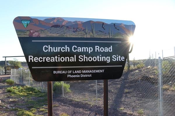
Recreational shooting sites allow for increased safety for shooting sports enthusiasts near one of the most populated metro areas in the nation.
Church Camp Road Recreational Shooting Site sign
The colorful Sugarloaf Mountain rises steeply from the Tonopah Desert plains giving the Hummingbird Springs Wilderness exceptional scenic value.
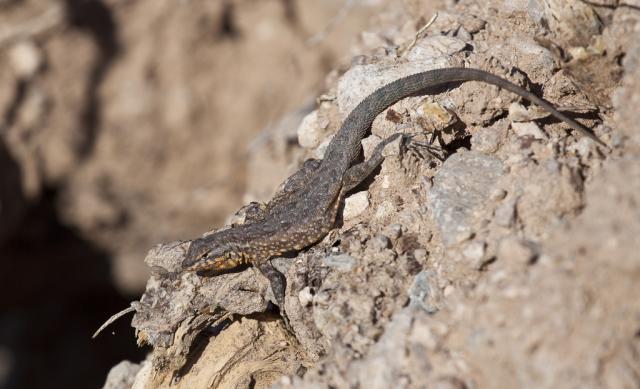
A lizard with a brown back, orange-tinted underside and spots on its side.
National Conservation Lands

National Monument

National Recreation Trail

Wilderness Areas

Things to Do

View all recreation activities in Arizona

Camping

Camping on Public Lands

Dispersed Camping

OHV


Do I need an OHV Decal? 

Resident and non-resident off-highway vehicles (OHVs) must display a valid OHV decal to operate on public and state trust lands in Arizona. Learn more and purchase an OHV decal. 


Recreational Target Shooting


Hiking, Biking, Equestrian

Maps and Publications

View other maps and publications at our Online Public Room.

Planning

The BLM encourages the public to get involved in the planning process to help determine how public lands will be managed. View the National NEPA Register for online review and comment on BLM planning and implementation projects.

Leadership

James Holden

Field Manager

Chris Gammage

Acting Agua Fria National Monument Manager