
Barstow Field Office
The BLM's multiple-use and sustained yield mission is to sustain the health and productivity of the public lands for the use and enjoyment of present and future generations.
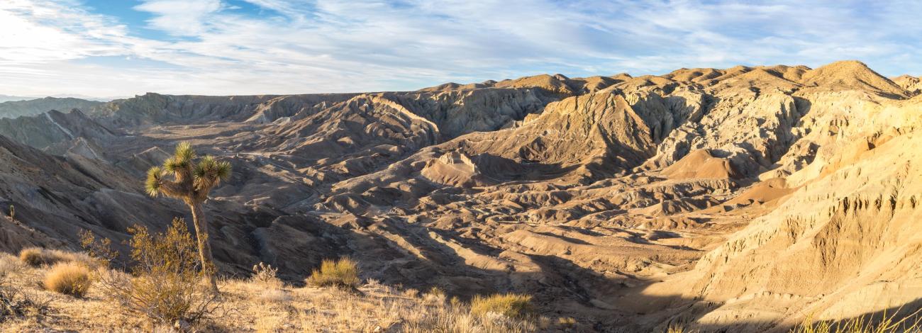
The Mojave Trails National Monument spans 1.6 million acres of federal lands, including more than 350,000 acres of already Congressionally-designated wilderness, managed by the Bureau of Land Management between Barstow and Needles, California.
The Mojave Trails National Monument spans 1.6 million acres of federal lands, including more than 350,000 acres of already Congressionally-designated wilderness, managed by the Bureau of Land Management between Barstow and Needles, California.
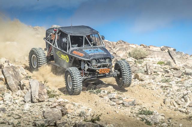
Johnson Valley is a varied landscape for the off-highway vehicle driver. It is punctuated by steep red rocky mountains, rolling hills, open valley, dry lake beds and sandy washes. Elevations range from 4,600 feet at Hartwell Hills to 2,300 feet at Melville Dry Lake.
Johnson Valley is a varied landscape for the off-highway vehicle driver. It is punctuated by steep red rocky mountains, rolling hills, open valley, dry lake beds and sandy washes. Elevations range from 4,600 feet at Hartwell Hills to 2,300 feet at Melville Dry Lake.
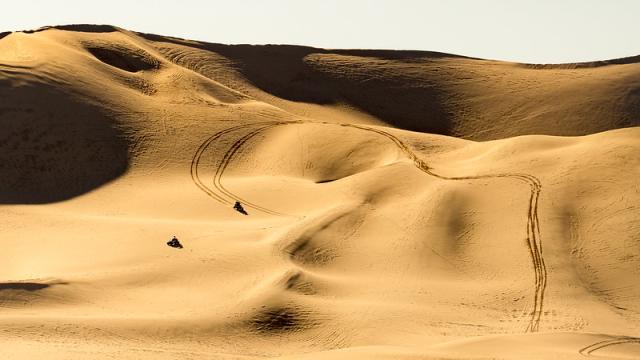
Dumont Dunes Off-Highway Vehicle (OHV) Recreation Area encompasses 7,620 acres of public land. This Special Recreation Management Area is located about 40 miles north of Baker, CA where OHV sand dune enthusiasts challenge themselves against the big bowls, steep climbs and flowing transitions.
Dumont Dunes Off-Highway Vehicle (OHV) Recreation Area encompasses 7,620 acres of public land. This Special Recreation Management Area is located about 40 miles north of Baker, CA where OHV sand dune enthusiasts challenge themselves against the big bowls, steep climbs and flowing transitions.
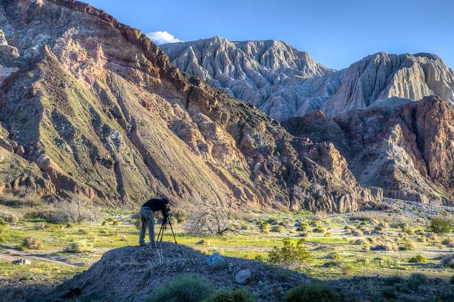
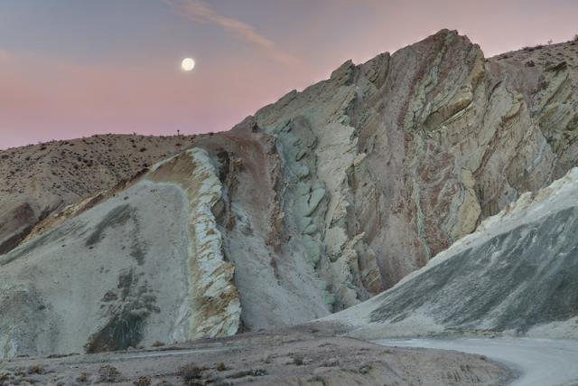
Rainbow Basin Natural Area is an Area of Critical Environmental Concern with outstanding views and geological and paleontological features. Many visitors come to see exciting multi-colored rock formations and walk the scenic canyons. A variety of desert adapted wildlife are found here, including the desert tortoise.
Rainbow Basin Natural Area is an Area of Critical Environmental Concern with outstanding views and geological and paleontological features. Many visitors come to see exciting multi-colored rock formations and walk the scenic canyons. A variety of desert adapted wildlife are found here, including the desert tortoise.
Recreation Areas
Special Designation Sites
- Desert Discovery Center
- Afton Canyon
- Harper Dry Lake
- Ord Mountain
- Sand to Snow National Monument
- Mojave Trails National Monument
- Old Spanish National Historic Trail
Off-Highway Vehicles
- Stoddard Valley OHV Area
- Johnson Valley OHV Area
- El Mirage OHV Area
- Dumont Dunes OHV Area
- Rasor OHV Area
Camping
Hiking
Wilderness Areas
- Rodman Mountains Wilderness
- Newberry Mountains Wilderness
- Black Mountain Wilderness
- Saddle Peak Hills Wilderness
- Ibex Wilderness
- South Nopah Range Wilderness
- Pahrump Valley Wilderness
- Soda Mountains Wilderness
- Kingston Range Wilderness
- Avawatz Mountains Wilderness
- Bighorn Mountain Wilderness
- Pinto Mountains Wilderness
Georeferenced Maps
Heading out for a remote adventure? No cell coverage? No problem. The BLM has developed georeferenced maps compatible with any georeferenced map mobile application. Click here for more information and instructions.
Leadership
Latest News
Contact
Address:
2601 Barstow Road
Barstow, CA 92311
Barstow, CA 92311
Email: [email protected]
Phone: 760-252-6000
Fax: 760-252-6099
Hours:
Public Room: 8:00 a.m. - 4:30 p.m. (Note: not all specialists are available every day. Please call or email the office to check staff availability)
TTY/Relay System
If you are deaf, hard of hearing, or have a speech disability, please dial 7-1-1 to access telecommunications relay services.