
Alaska Georeferenced PDF Maps
Alaska has many georeferenced PDF maps tailored to different uses and locations.
Digital Public Information Map Series
This map series is not intended for federal subsistence hunting maps. See next map series below.
- Campbell Tract (29 MB) Published - 07/28/2025
- Birch Creek Wild and Scenic River - Steese National Conservation Area( 23.7 MB) Published -04/26/2022
- Dalton Highway Corridor - Fairbanks to Coldfoot (47 MB) Published - 11/05/2020
- Dalton Highway Corridor - Coldfoot to Deadhorse (45 MB) Published - 11/05/2020
- Delta Wild and Scenic River (17.9 MB) Published - 03/27/2017
- Denali Highway (17.5 MB) Published - 10/11/2017
- Fortymile Wild and Scenic River/Taylor Highway (9.1 MB) Published - 03/24/2017
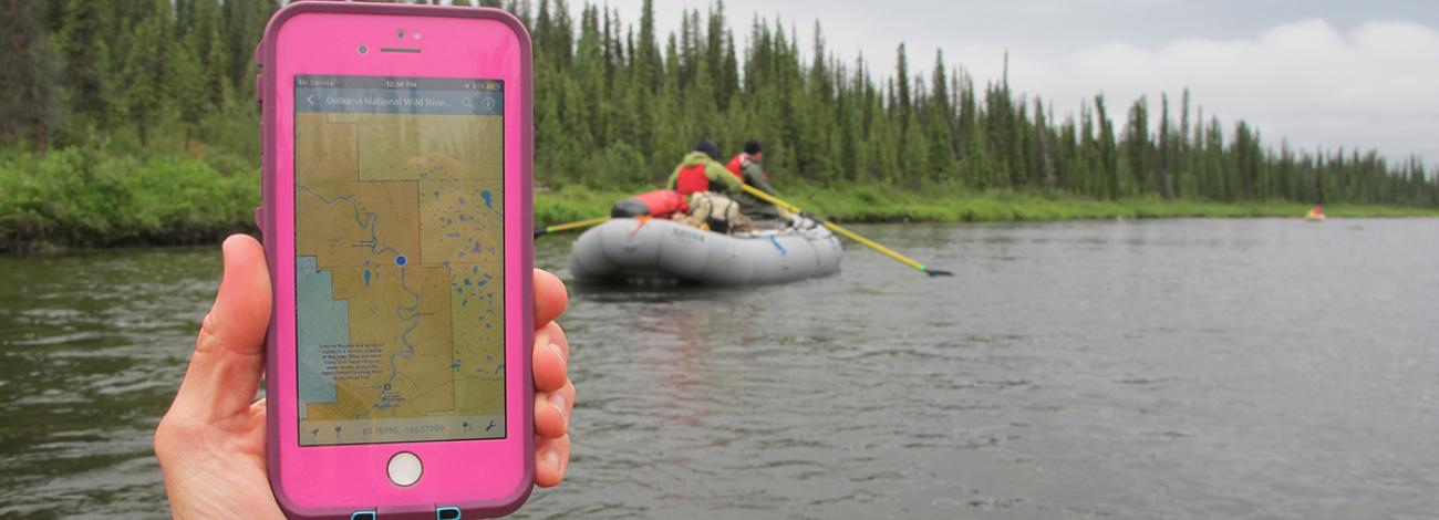
- Gulkana Wild and Scenic River: Paxson Lake to Sourdough Campground (25.5MB) Published - 10/11/2017
- National Petroleum Reserve in Alaska (42 MB) Published - 09/16/2019
- Nome Creek Valley - White Mountains National Recreation Area (22.3 MB) Published - 7/19/2023
- Pinnell Mountain National Recreation Trail - Steese National Conservation Area (6.6 MB) 7/19/2023
- Summer Recreation in the White Mountains National Recreation Area and Steese National Conservation Area (44.5 MB) Published - 7/26/2023
- Winter Recreation in the White Mountains National Recreation Area and Steese National Conservation Area (28.6 MB) Published - 09/28/2023
- Unalakleet Wild and Scenic River (9.6 MB) Published - 03/28/2017
Hunting and Recreation Map Series
- Game Unit 25C Steese and White Mountains Area: Fortymile Caribou Hunt Access for Winter (October 15 - April 30) Map (1.59MB) Published 10/20/2021
Federal Subsistence Hunting Map Series
Federal Subsistence Game Management Unit 13 Hunting Maps
- Alaska Range - East (11 MB) Published - 06/28/2022
- Alaska Range - West (9 MB) Published - 06/28/2022
- TLAD/Richardson Area (4 MB) Published - 06/28/2022
- Teikel Corridor (5.4 MB) Published - 06/28/2022
- Sourdough Controlled Use Area (3 MB) Published - 07/10/2018
- Cantwell Area Published - 6/28/2022
- Slana Area Published - 06/15/2022
- Unit 13A Federal Subsistence Richardson Corridor (1.9MB) Published 10/18/2023
- Unit 13 Non-Federal/State Restricted Moose Hunt Area (8.7MB) Published 5/14/2026
Federal Subsistence Game Management Unit 20E Hunting Maps
- 20E Map - Chicken, Walker Fork and Jack Wade Area (1.6 MB) Published - 08/20/2021
- 20E Map - Taylor Highway Logging Cabin Creek (1.9 MB) Published - 08/20/2021
- 20E Map - Taylor Highway O'Brien Creek (1.9 MB) Published - 08/20/2021
Federal Subsistence Game Management Unit 22B Hunting Maps
- Federal Subsistence Game Management Unit 22B Map - Seward Peninsula (5 MB) Published - 07/10/2018
Federal Subsistence Game Management Unit 22D Hunting Maps
- 22D Remainder Map - Musk Ox (4 MB) Published - 07/10/2018
- 22D Map - Seward Peninsula Southwest Musk Ox (3 MB) Published - 07/10/2018
Federal Subsistence Game Management Unit 25C Maps
- Federal Subsistence Game Management Unit 25C Map - Steese Highway (2.5 MB) Published - 7/29/2021