
California Georeferenced PDF Maps
California has many georeferenced PDF maps organized by the managing office.
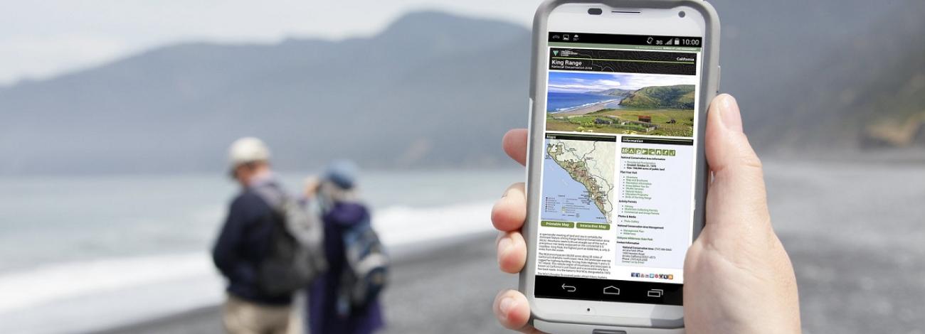
Arcata Field Office
- King Range National Conservation Area
- Paradise Royal and Pacific Rim Mountain Bike Trail
- Headwaters Forest Reserve
- Lacks Creek Management Area
Bakersfield Field Office
Barstow Field Office
Bishop Field Office
Central Coast Field Office
Eagle Lake Field Office
El Centro Field Office
- Routes of Travel for Eastern Imperial County
- Routes of Travel for North Central Imperial County
- Routes of Travel for Western Imperial County
- Routes of Travel for Imperial Sand Dunes Recreation Area
- Routes of Travel for Eastern San Diego County
- Routes of Travel for Lark Canyon
Mother Lode Field Office
Palm Springs Field Office
Redding Field Office
- Butte Creek Recreation Area
- Swasey Mule Mountain Recreation Area (2023)
- Clear Creek, Swasey, Mule Ridge
- Horsetown, Clear Creek Preserve
- Keswick Trails
- Rock Creek, Middle Creek
- Trinity River
- Chappie-Shasta Off-Highway Vehicle Area Northern Region
- Chappie-Shasta Off-Highway Vehicle Area Southern Region