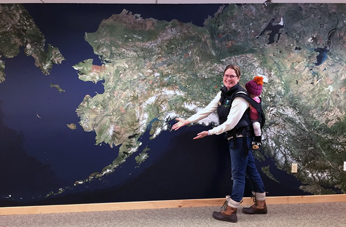
Alaska Map Exhibit
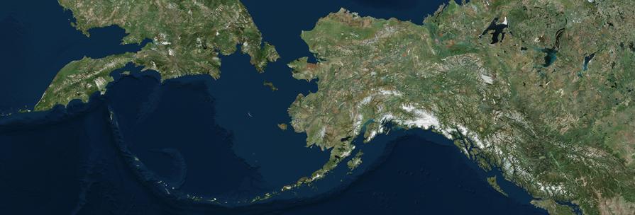
Alaska’s vast landscape encompasses a wide variety of unique ecosystems. In this satellite image, these ecosystems come together in a mosaic of colors. Zoom in on these patches and you’ll notice great mountain ranges, endless waterways, and large stands of old-growth forest.
Rugged mountain ranges fill the entire state. Meltwater from these ranges feed extensive rivers systems that provide travel corridors for millions of migrating salmon. Can you follow a river as it meanders its way to the ocean? Notice the mountains that are covered in patches of white snow and ice. Known as icefields, these feed thousands of Alaska’s glaciers.
From space, different shades of green and brown represent Alaska’s diverse plant life. In the south, moss covers the ground and hangs from trees in the coastal rain forest. Along the western coastline, you’ll find extensive wetlands supporting millions of migratory birds. And in the interior, patches of black spruce trees and moss-filled bogs called muskegs make up the boreal forest.
As you look at map image yourself exploring this colorful mosaic of ecosystems. Where would you go first? How would you travel across this vast landscape?