BLM Oregon/Washington History
In 1812, the General Land Office or GLO was established as a federal agency within the Department of the Treasury. The GLO's primary responsibility was to oversee the survey and sale of lands deemed by the newly formed United States as "public domain" lands. The GLO was eventually transferred to the Department of the Interior in 1849 where it would remain for the next ninety-seven years.
The GLO is an integral piece in the mosaic of Oregon’s history. In 1843, as the GLO entered its third decade of existence, new settlers and immigrants had begun arriving in increasing numbers in the Oregon territory. By 1850, Oregon’s European-American population numbered over 13,000 individuals. While the majority resided in the Willamette Valley, miners from California had begun swarming northward to stake and mine gold and silver claims on streams and mountain sides in southwest Oregon. Statehood would not come for another nine years. Clearing, tilling and farming lands in the valleys and foothills and having established a territorial government, the settlers presumed that the United States’ federal government would act in their behalf and recognize their preemptive claims. Of paramount importance, the settlers’ claims rested on the federal government’s abilities to negotiate future treaties with Indian tribes and to obtain cessions of land—the very lands their new homes, barns and fields were now located on. In 1850, Congress passed an “Act to Create the office of the Surveyor-General of the public lands in Oregon, and to provide for the survey and to make donations to settlers of the said public lands.” On May 5, 1851, John B. Preston-- appointed by President Millard Fillmore as the first Surveyor-General of Oregon-- opened the Territory’s first GLO survey office in Oregon City, the territorial capital. Acting under a number of public land laws, including the 1862 Homestead Act signed by President Abraham Lincoln, the GLO eventually oversaw nearly 33 million acres of public domain land in Oregon conveyed out of federal ownership. Today the imprint of the GLO on Oregon’s landscape is unmistakable in its cardinally-oriented roads and property lines.
However, the story of the GLO in Oregon runs deeper than mapping and surveying the lands. As agents of the United States, GLO surveyors operated under the umbrella of United States’ public land laws and policies and treaty-making with Indian tribes. These laws and policies reflected the nation’s belief in its “manifest destiny” to control, own and dispose of lands in the West to encourage settlement and development. This often came at a serious price to Indian populations from whose ancestral lands the public domain was created. The GLO administered the district land offices until July 16, 1946, when its successor, the Bureau of Land Management (BLM) was created.
Following many years of consolidations and closures, a single land office remained to serve both Oregon and Washington – the Oregon Land Office located in Portland. It was established in 1948 as the lone remaining land office in Oregon. The Washington Land Office, which was established in Spokane in 1949, was consolidated with the Oregon Land Office in 1965. In 1971, the Oregon Land Office was merged with the BLM Oregon/Washington State Office as all remaining federal land offices nationwide were essentially closed and the traditional term “land office” was eliminated with a reorganization of the BLM.
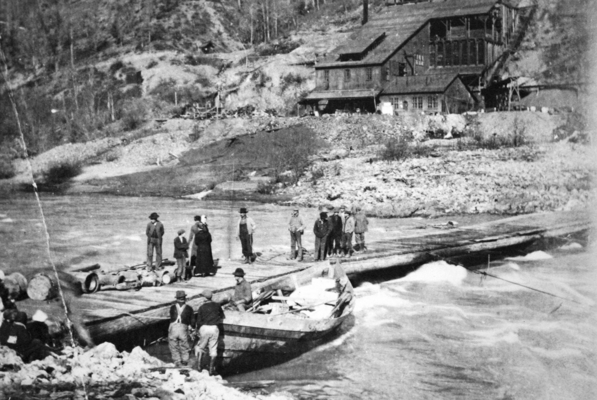
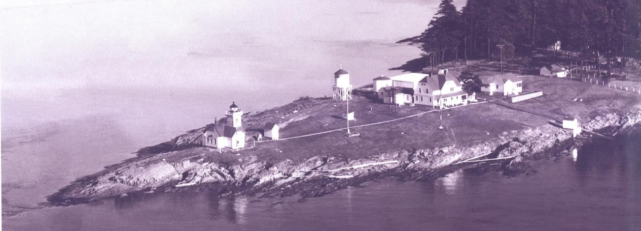
Check out BLM Oregon/Washington's fantastic historical photo collection on Flickr.