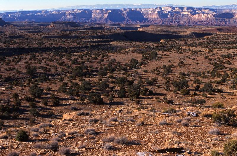
MUDDY CREEK WILDERNESS STUDY AREA
Values
Muddy Creek, a tributary of the Dirty Devil River to the south, flows east across the northern portion of the WSA then south through the eastern portion, and has a deep canyon through the study area. The south-central portion of the WSA consists of steep mesas. The southern part of the study area is a mesa bisected by Muddy Creek Canyon, and is locally referred to as “The Pasture” west of the canyon and “Keesle Country” east of the canyon. Pinyon, juniper, and desert shrub are the predominant types of vegetation, but the plant cover in the WSA is generally sparse. The upper reaches provide dramatic views of the twisted and carved character of the area, surrounded by the volcanic evidence and up thrust rock structures.
Visitation Information
Located in Emery County, about 30 miles south of Emery, UT.
Visitor Advisory
Visitors should come prepared for backcountry conditions and adequately prepare for their trip. Knowledge of weather, terrain, and physical conditions can help ensure safety.

