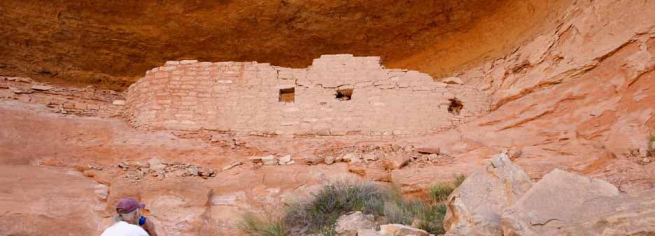
Colorado National Conservation Lands
The BLM’s National Landscape Conservation System, also known as the National Conservation Lands, highlights some of the West’s most spectacular public lands. These areas conserve, protect and restore nationally significant landscapes recognized for their cultural, ecological and scientific values. Colorado’s National Conservation Lands include national monuments, national conservation areas, national scenic and historic trails, wilderness and wilderness study areas. BLM Colorado manages 65 National Conservation Lands, encompassing more than 1 million acres — about one about one eighth of all the BLM land in the state.
Please visit the pages for the National Conservation Lands in Colorado:
- National Monuments
- National Conservation Areas
- National Scenic and Historic Trails
- Wilderness
- Wilderness Study Areas
-
- Adobe Badlands
- American Flats
- Ant Hills
- Beaver Creek
- Bill Hare Gulch
- Black Canyon
- Black Mountain
- Black Ridge Canyons
- Browns Canyon
- Bull Canyon
- Bull Gulch
- Cahone Canyon
- Camel Back
- Castle Peak
- Chew Winter Camp
- Cross Canyon
- Cross Mountain
- Demaree
- Diamond Breaks
- Dolores River Canyon
- Dominguez Canyon
- Eagle Mountain
- Hack Lake
- Handies Peak
- High Mesa Grassland RNA
- Larson Creek
- Little Book Cliffs
- Lower Grape Creek
- McIntyre Hills
- McKenna Peak
- Menefee Mountain
- Needle Rock ISA
- North Sand Hills
- Oil Spring Mountain
- The Palisade
- Papa Keal
- Peterson Draw
- Platte River Contiguous
- Powderhorn
- Rare Lizard & Snake
- Red Cloud Peak
- San Luis Hills
- Sewemup
- Skull Creek
- Sego Lily
- Troublesome
- Upper Grape Creek
- Vale of Tears
- Weber Mountain
- Weminuche Contiguous
- West Cold Spring
- Whitehead Gulch
- Willow Creek
- Windy Gulch
