
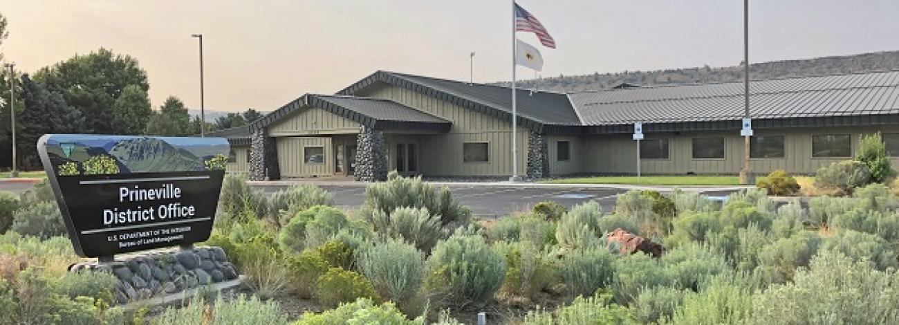
Prineville District Office
Join Our Team, Conserve Your Public Lands: Explore a rewarding career with Prineville BLM!
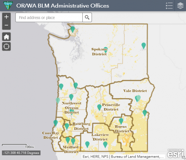
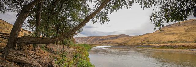
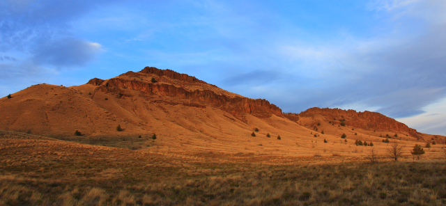
Prineville is the largest District in Oregon with 1.65 million acres scattered over 13 million acres. The boundary generally follows county boundaries and stretches from the Columbia River in the north to the edge of the Great Basin in the south, and includes the Cascade crest in the west and the Blue Mountains in the east. It is roughly 180 miles across, both north-south and east-west.
Half of this land base (50%) is managed by three federal agencies: US Forest Service (33%), BLM (13%), and Bureau of Indian Affairs (5%). The remainder consists of privately-owned lands (47%), and minor amounts of other federal, state, and county properties (3%).


Leadership
Kyle Hensley
Vacant
Latest News
Contact
Prineville, OR 97754
TTY/Relay System
If you are deaf, hard of hearing, or have a speech disability, please dial 7-1-1 to access telecommunications relay services.