
Lower Deschutes Wild and Scenic River
The Deschutes River begins its journey high in the Cascade Mountains of Oregon at Little Lava Lake and travels through deep rimrock-lined canyons on its 252-mile course north to the Columbia River. The last 100 miles of this path were designated as an Oregon Scenic Waterway in 1970 and a Federal Wild and Scenic River in 1988. The Deschutes has a unique flow that is fairly constant due to the many springs that feed the river in the upper reaches and the effects of the Pelton Reregulating Dam, which delivers a uniform flow for the last 100 miles. The Lower Deschutes River is managed cooperatively by three agencies: Prineville District, Bureau of Land Management; the Confederated Tribes of Warm Springs; and Oregon Parks and Recreation Department.
Visitors pass through steep canyons that reveal their volcanic origin in the towering basalt columns lining the rims. The elevation drops from 1,393 feet at Pelton Dam to 160 feet at its confluence with the Columbia River. The average gradient is 13 feet per mile and is relatively constant throughout its length. The most significant drops in gradient are Sherars Falls (River Mile 44), with a vertical drop of 15 feet, and Whitehorse Rapids (River Mile 75), with a vertical drop of approximately 35-40 feet over one mile.
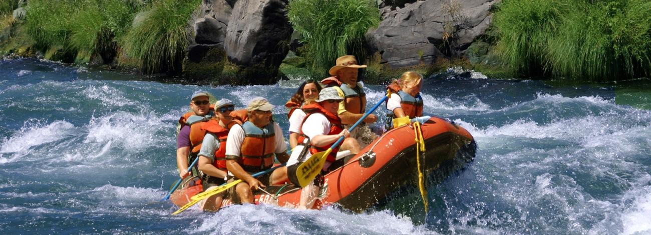
Many outstanding opportunities draw people to the Lower Deschutes River. Thousands come every year to enjoy world class fishing, exciting whitewater and beautiful scenery. No matter where you are along the Lower Deschutes, you will experience an incredible geologic and cultural history, a diverse community of fish, wildlife and vegetation, and an abundance of recreational opportunities. Whatever you plan to do, if you want to stay overnight, come early to get a campsite, especially during summer weekends. Come enjoy a unique opportunity to discover the historic and present day wonders of the Deschutes River canyon!
How to Get a Boater Pass
Boater Passes are required year-round, for both day and overnight use, for anyone using a watercraft or any other floating device as a means of transport on the Lower Deschutes River. Passes can be reserved up to 26 weeks in advance of a trip. Access is restricted to a limited number of boaters on some river segments during peak use periods. Motorized watercraft are not allowed from Heritage Landing upstream to Macks Canyon on alternate weekends beginning the first Thursday through Sunday on/after June 15 and ending September 30: motorboat closure calendar.
The Lower Deschutes boater pass system has moved: Please go to Recreation.gov for boating information and to get a boater pass. Additional information is also available in the following documents:
- Authorized Guides, Rental Equipment Outfitters and Shuttle Operators
- BLM Camping Sites and Day Use Sites (Deschutes River)
- Boater Pass Release Schedule
- Camping on the Lower Deschutes
- Know Before You Go
- Lower Deschutes River Rules and Regulations
- Maps, Mile Markers, GPS Coordinates, and more
- River Segments and Boat-in Camping Information
- Tips for Booking Online
- Wildfire Safety Tips