
Moab Field Office
General Field Office Information
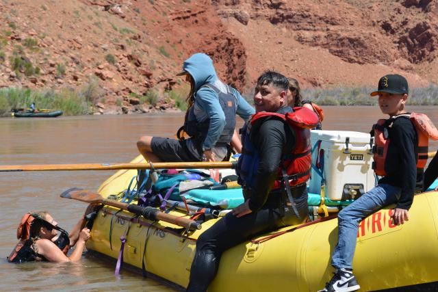
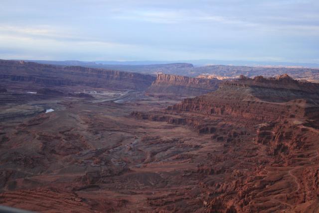
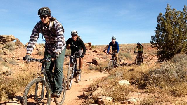
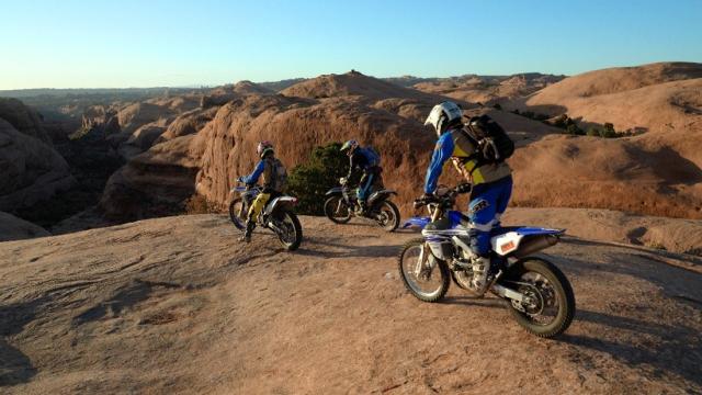
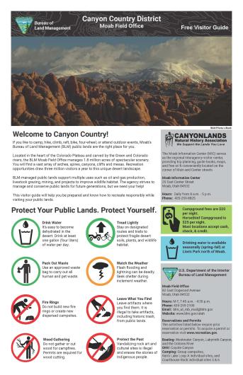
Located in the heart of the Colorado Plateau, the Moab Field Office encompasses 1.8 million acres of stunningly scenic canyon country. Carved by the Colorado and Green Rivers, Moab’s public lands include a vast variety of arches, natural bridges, mesas, and spires. The Moab Field Office is a mecca for recreation, including off-highway vehicles, mountain biking, climbing, base jumping, hiking, horse-back riding, and river rafting. In addition to supporting millions of visitors and hundreds of recreation related jobs in the local communities, Moab also supports a wide array of land uses such as oil and gas production, mining, and livestock grazing. The Field Office is known for evidence of dinosaurs and features the Mill Canyon Interpretive Track Site and Bone Trail. These canyonlands are home to many types of desert wildlife and the area supports a healthy population of big horn sheep, and can provide great opportunities for wildlife viewing during the fall.
Spring and fall are especially busy and popular times to be in Moab. To help keep this area beautiful and be respectful of other visitors, please recreate responsibly. See our Moab Visitor Guide for more information. For information related to camping along the Moab Daily section of the Colorado River please see our River Recreation-Moab Daily Map.
The Bureau of Land Management (BLM) is pleased to officially announce the introduction of a new online interface for processing Special Recreation Permit applications and renewals called the Recreation and Permit Tracking Online Reporting system (RAPTOR) at permits.blm.gov. This BLM Office is participating in RAPTOR to simplify and standardize a faster process. Please contact 435-259-2100 with any questions.
For updated information about the Canyon Country District, Moab Field Office, and Monticello Field Office, visit the Bureau of Land Management Moab and Canyon Country Facebook page.
Leadership
Latest News
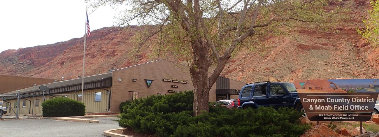
Contact
Moab, UT 84532
TTY/Relay System
If you are deaf, hard of hearing, or have a speech disability, please dial 7-1-1 to access telecommunications relay services.
Popular Areas and Activities
- Moab Information Center
- Moab Motorized Recreation Map
- BLM Moab E-Bike Information
- Colorado River Moab Daily Camping Map
- Dolores River (in Utah)
- Labyrinth Canyon Permit
- Westwater Canyon
- Moab Camping/Hiking
- Utah Camping
- Coyote Canyon Permit
- Moab Area Mountain Biking
- Moab Area Information
Permitted Shuttle Services
Additional Information
Mill Canyon Dinosaur Tracksite Updates
Please visit the BLM Mill Canyon Dinosaur Tracksite ePlanning webpage for more information.