
Bakersfield Field Office
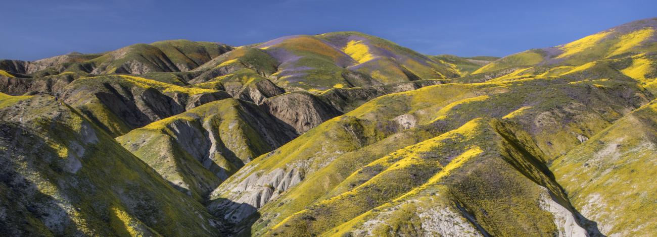
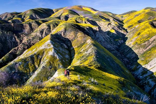
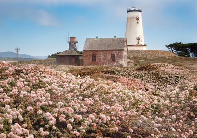
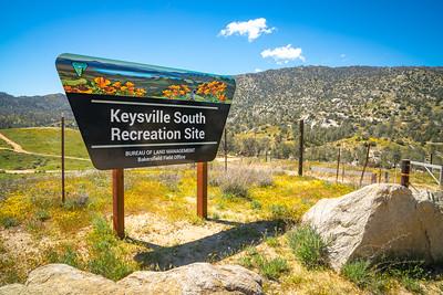
The Bakersfield Field Office manages approximately 1.2 million acres of federal mineral estate, which includes roughly 612,000 acres of public lands that stretch from the California Coast to the crest of the Sierra Nevada range throughout eastern Fresno, western Kern, Kings, Madera, San Luis Obispo, Santa Barbara, Tulare and Ventura counties. Public lands managed by the Bakersfield Field Office include the quarter-million-acre Carrizo Plain National Monument, Piedras Blancas Light Station, San Joaquin River Gorge, Keysville and Temblor Special Recreation Management Areas, and the Atwell Island Land Retirement Demonstration Project.
Recreation Areas
- Carrizo Plain National Monument (Georeferenced Map)
- Case Mountain Extensive Recreation Management Area
- Chimney Peak Recreation Area
- Chimney Peak Wilderness
- Domeland Wilderness
- Keysville Special Recreation Management Area (Georeferenced Map)
- Pacific Crest National Scenic Trail - Owens Peak Segment
- Piedras Blancas Light Station
- Point Sal
- Sacatar Trail Wilderness
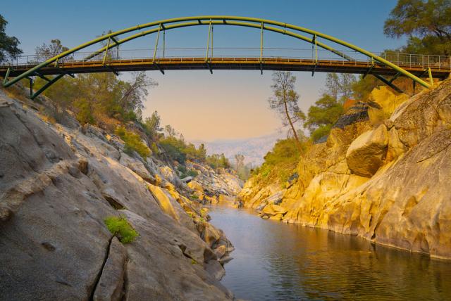
- San Joaquin River Gorge Recreation Area
- Temblor Recreation Area
Georeferenced Maps
Heading out for a remote adventure? No cell coverage? No problem. The BLM has developed georeferenced maps compatible with any georeferenced map mobile application. Click here for more information and instructions.
Leadership
Latest News
Contact
Bakersfield, CA 93308
TTY/Relay System
If you are deaf, hard of hearing, or have a speech disability, please dial 7-1-1 to access telecommunications relay services.