
OWL CREEK WILDERNESS STUDY AREA
Values
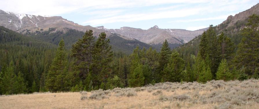
The Owl Creek WSA encompasses 710 acres in three units. All three units are located on the major ridge line that divides Rock Creek and the South Fork of Owl Creek and is adjacent to the 703,981 acre Washakie Wilderness Area. The WSA is characterized by rugged terrain broken by steep draws, excellent vegetative cover and remoteness. The WSA provides important critical habitat for deer, moose, elk, bears, and bighorn sheep. The altitude in the WSA ranges from 9,000 to 10,900 feet. The geology of the area is largely unexplored and offers excellent opportunities for study of tertiary volcanics in the area. There are two culturally significant sites which are believed to be eligible for the National Register of Historic Places. These sites are important for study of high altitude aboriginal occupation.
Visitation Information
One can access the Owl Creek WSA from the north by using the Shoshone National Forest trail system. Motorized travel is expressly prohibited. Additionally, the WSA is closed to mineral entry, including gold panning.
Visitor Advisory
Access to wild lands inherently requires good navigational skills and four-wheel drive or high-clearance vehicles. Visitors should be prepared for adverse weather and road conditions. The WSAs in the BLM Field Office are primarily accessed by unnamed or unsigned two-track roads that in many cases may be difficult to find without sufficient navigational skills and equipment.
Wilderness Study Areas
WSAs are undeveloped federal lands that retain their primeval character and influence, without permanent improvements or human habitation, and are managed so as not to impair their suitability for preservation as wilderness. Backcountry recreation is a common use along with Leave no Trace Outdoor ethics. Please be advised these areas are restricted and do not allow for the use of motorized and mechanized equipment.