
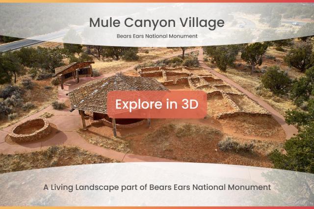
Mule Canyon
The two canyons which characterize this WSA, the head of Mule Canyon and the head of the North Fork of Mule Canyon, trend southeast. The walls of the canyon are alternating layers of red and white sandstone. The canyons cut into a terrace which is part of Grand Gulch Plateau, or Cedar Mesa. There are many known Ancestral Puebloan dweller sites within the WSA, most of which are cliff dwellings. These picturesque ancient structures add elements of discovery and education to the primitive recreation experience.

Phone
Addresses
Geographic Coordinates
Directions
Mule Canyon WSA is located in south-central San Juan County, about 20 miles west of Blanding, UT. From Blanding, head south on Highway 191 and turn right (west) onto Highway 95, continuing west for 19.4 miles. The trailhead is located on the north side of the highway.