Mule Canyon Interpretive Site |
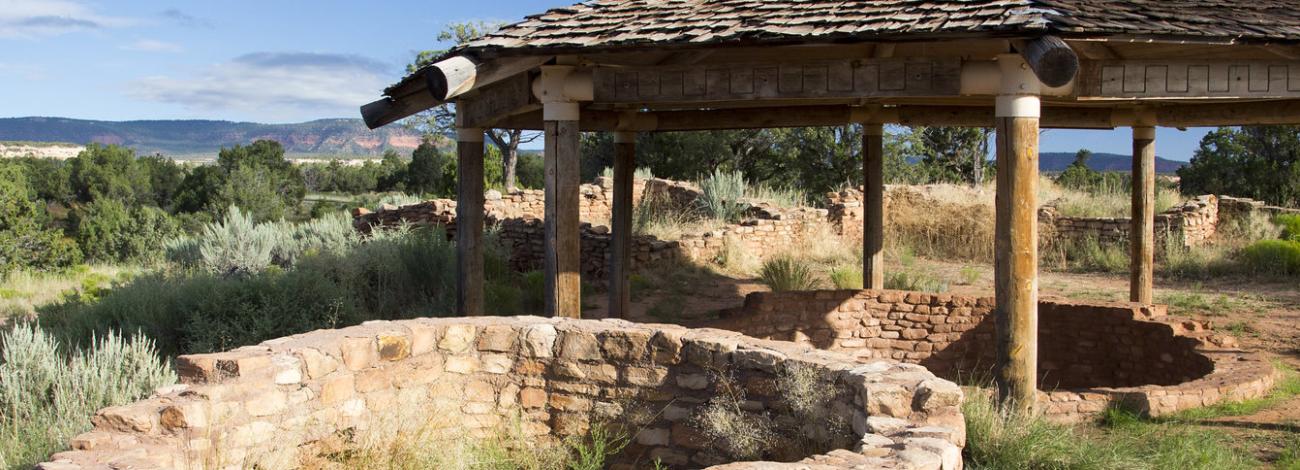
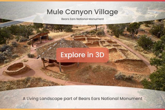
The Mule Canyon Interpretive Site is a complex of ancestral Puebloan structures located on Cedar Mesa in southeastern Utah. Well-preserved Pueblo structures found at this site are over 700 years old. The complex includes above-ground and underground dwellings, including a kiva and tower that have been excavated and stabilized as well as a block of 12 rooms. The BLM has constructed a canopy to protect the kiva. Interpretive panels and vault toilets are provided.
The site is accessible from the highway with good directional signs. It is located on the Trail of the Ancients Scenic Byway (Highway 95), near the Texas Flat Road. The site is open throughout the year, and there is no admission fee.
Use our trip planner to help you plan your trip!
Accessibility Description (ABA/ADA)
Click on the image above for more photos of accessibility features at this site.
A loop entry road and small parking lot is paved. Although it’s not striped, it is accessible to mobility vehicles. Some visitors park along the road, which would be less desirable for mobility vehicles.
At the east end of the parking area is a one-quarter mile paved trail leading downhill to the complex of the Puebloan structures. A bench without arms and covered interpretative panel are situated along the trail.
On the north side of the parking area, a paved access trail leads to a double unisex vault toilet. The trail has a slight incline yet is steep enough that someone in a wheelchair may require assistance.
There is no guardrail around the kiva, requiring extra care from visitors. This site has no water, picnic tables, grills, or fire pits.
Descriptions and photos uploaded July 2024. Please note that actual on-the-ground conditions may vary due to natural events (e.g., weather, wildfires, erosion), normal wear and tear, or site improvements.
Contact Us
Activities
Geographic Coordinates
Directions
The Mule Canyon Interpretive Site is located about 20 miles south and west of Blanding, UT. It may be accessed from State Route 95. It has a paved parking area which is well signed on the north side of the highway.
Fees
There is no fee for this site.


