
Federal Land Records
Through the links below, find federal land records from across the country, to include historical documents to current interactive mapping tools.
General Land Office Records
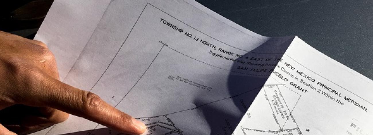
The BLM General Land Office Records website provides online access to federal land conveyance records for the Public Land States, which are states that were created out of the public domain. The website offers access to images of more than five million federal land title records issued since 1820. The site also has images related to survey plats and field notes dating back to 1810. Check out the GLO Records website.
The GLO Records also includes Master Title Plats (MTP), a mapping of current land status for a specified township. Other plats can be included in the MTP plat group. For example, the oil and gas and the leasable minerals plats add a graphic depiction of the current mineral lease status to the basic MTP depiction of land status. Explore Master Title Plats in GLO.
Note that while the collection is extensive, this site does not contain every federal title record issued. For additional records, contact your state or local office.
Alaska Spatial Data Management System
The Alaska Spatial Data Management System (SDMS) is a one-stop tool to view, research, print and download information such as surveyed land parcels, land status, mining claims, and Master Title Plats in Alaska. View Alaska records in SDMS.
Note: Many SDMS sub-systems and databases are being migrated to the General Land Office Records and the Mineral & Land Records System.
Mineral & Land Records System
The Mineral & Land Records System (MLRS) is an online platform delivering state-of-the-art mineral and land records transactions, tracking, mapping, and more for BLM customers and staff. MLRS has replaced and integrated many legacy BLM systems (e.g., LR2000, Alaska's ACRES/ALIS, LRAM, CSRC) to more efficiently manage resources and cases across a range of BLM actions and business processes. These include mining claims, fluid minerals, geothermal energy, land tenure, solid minerals, land use authorizations, realty billing, and other case types. Learn more about MLRS.
Visit the BLM reporting application to easily access public reports from the MLRS application.
Geospatial Business Platform Hub
The Bureau of Land Management (BLM) Geospatial Business Platform Hub launched in 2022 and replaces other prior geospatial data systems including Navigator and the Landscape Approach Data Portal (LADP), consolidating these resources into a one-stop shop for all your geospatial needs. It serves as a centralized location to explore, view, and download BLM's geospatial data.
Related Resources
Popular Maps
Administrative Boundaries Map