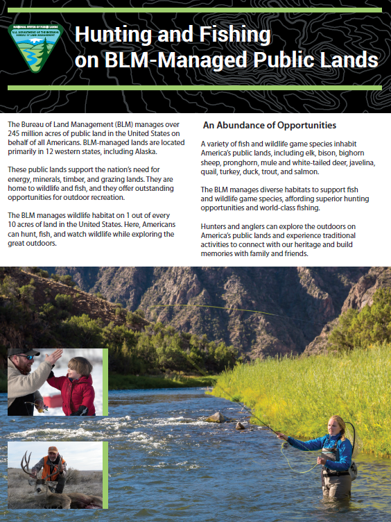
Hunting and Fishing

The Bureau of Land Management provides opportunities to hunt, fish and engage in shooting sports activities in a safe and environmentally sound manner that promote marksmanship, public safety, hunter education, competition and lawful hunting.

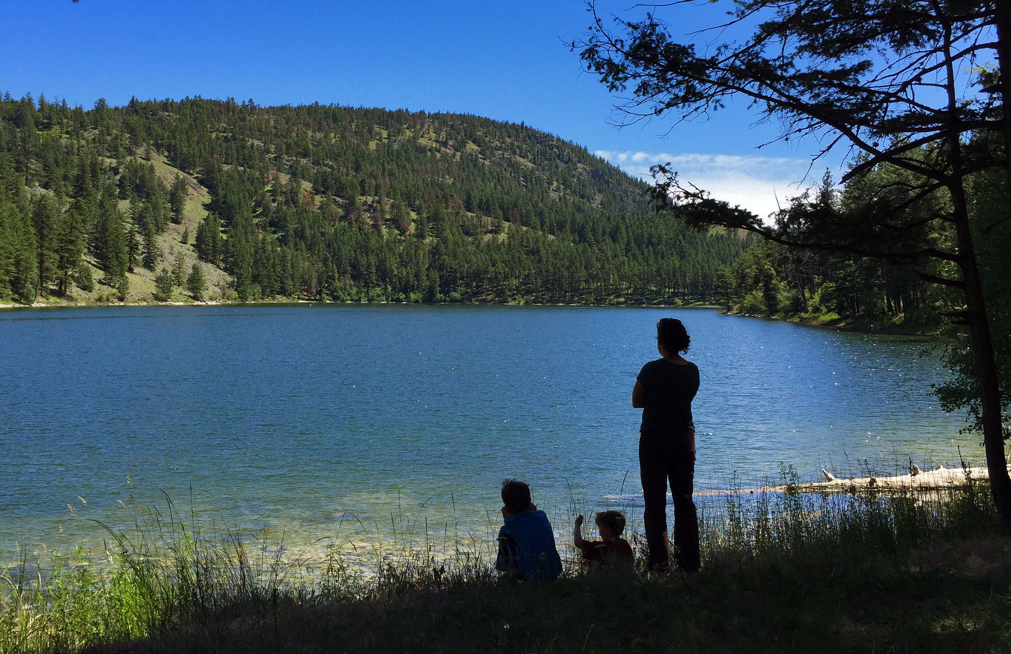
Over 99 percent of BLM-managed lands are open to hunting, fishing and recreational shooting opportunities. The BLM provides important access to hunting and fishing opportunities on public lands and waters, working with local communities and our valued partners to actively expand access to these opportunities.

Find BLM Land near you. Online Interactive Map.

Hunting

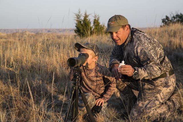
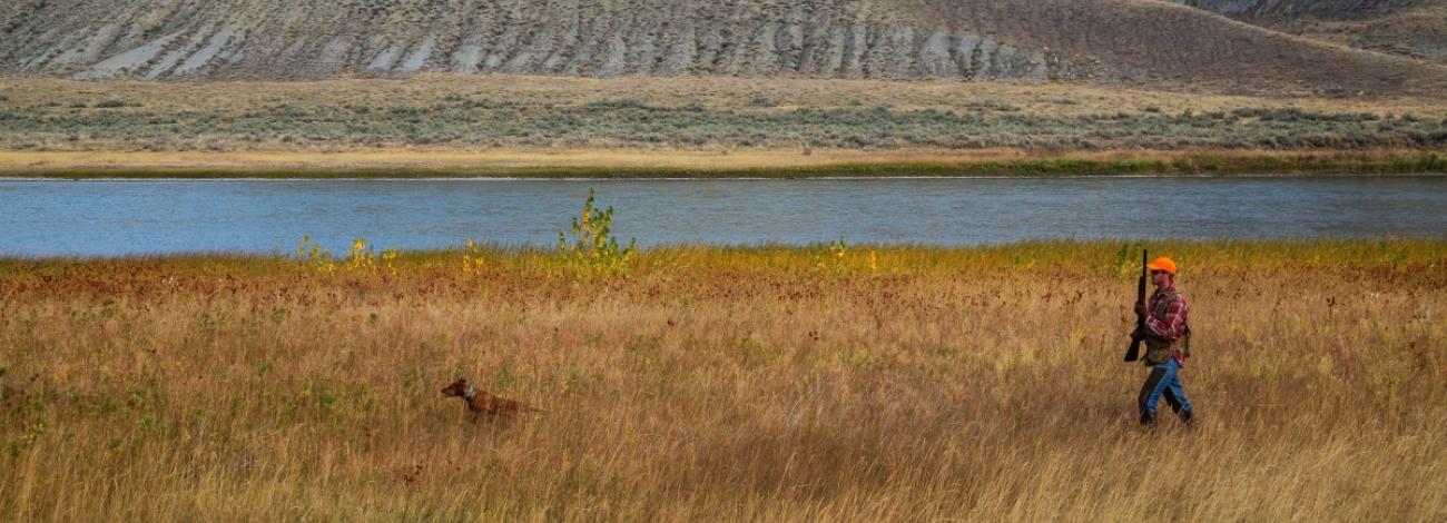
America’s shared public lands provide habitat important for big, upland, and small game, furbearers and waterfowl and other game birds. The BLM manages 43 million acres of elk habitat, 131 million acres of mule deer habitat and 23 million acres of bighorn sheep habitat. BLM-managed lands are home to over 3,000 species, including big game, upland game birds and waterfowl. Numerous wildlife species occur nowhere else in the country, except on public lands. 

Unless specifically prohibited, public lands managed by the BLM are open to hunting. Always check with your local BLM office in the region you plan to visit to inquire about closures, restrictions and safety tips before you plan your trip. 

It is extremely important to hunt only on lands where it is legally allowed. Private land is open to hunting only if you have the permission of the land owner. If you do not have permission to hunt, you are trespassing and can be prosecuted. Crossing private lands to access public lands is not permitted, unless you first obtain permission from the private landowner. The BLM provides public information, such as brochures and maps, through online and physical public rooms. Find a public room in your state here.

All hunters on public lands must have the required state license(s). States are responsible for managing wildlife within their borders for the trust and benefit of their residents, even if the hunting occurs on federal lands.

Fishing

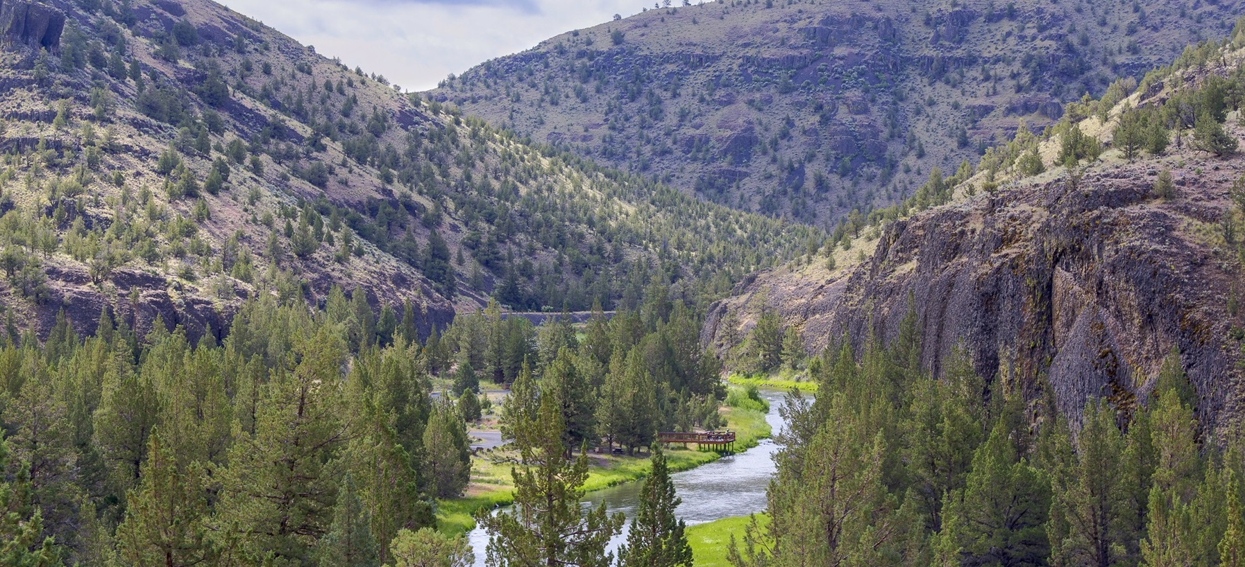
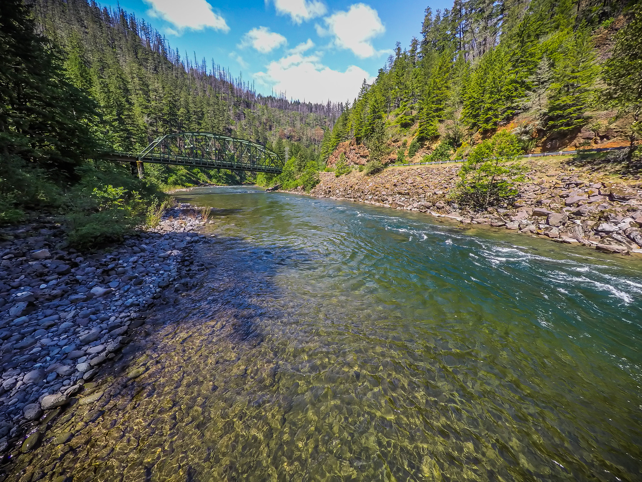
The BLM manages over 130,000 miles of fishable rivers and streams and provides countless public recreational fishing access opportunities throughout the United States. From desert reservoirs to mountain streams, BLM's fisheries and aquatic resources support public recreation and subsistence fisheries and are critical for sustaining the Nation’s aquatic resources and fisheries. BLM-managed lands are open for fishing unless specifically closed for specific resource protection purposes.

All anglers on public lands must have the required state license(s). That’s because states are responsible for managing wildlife within their borders for the trust and benefit of their residents, even if the hunting occurs on federal lands. You can search for state fishing licenses on the U.S. Fish & Wildlife Service website.

Safety Tips

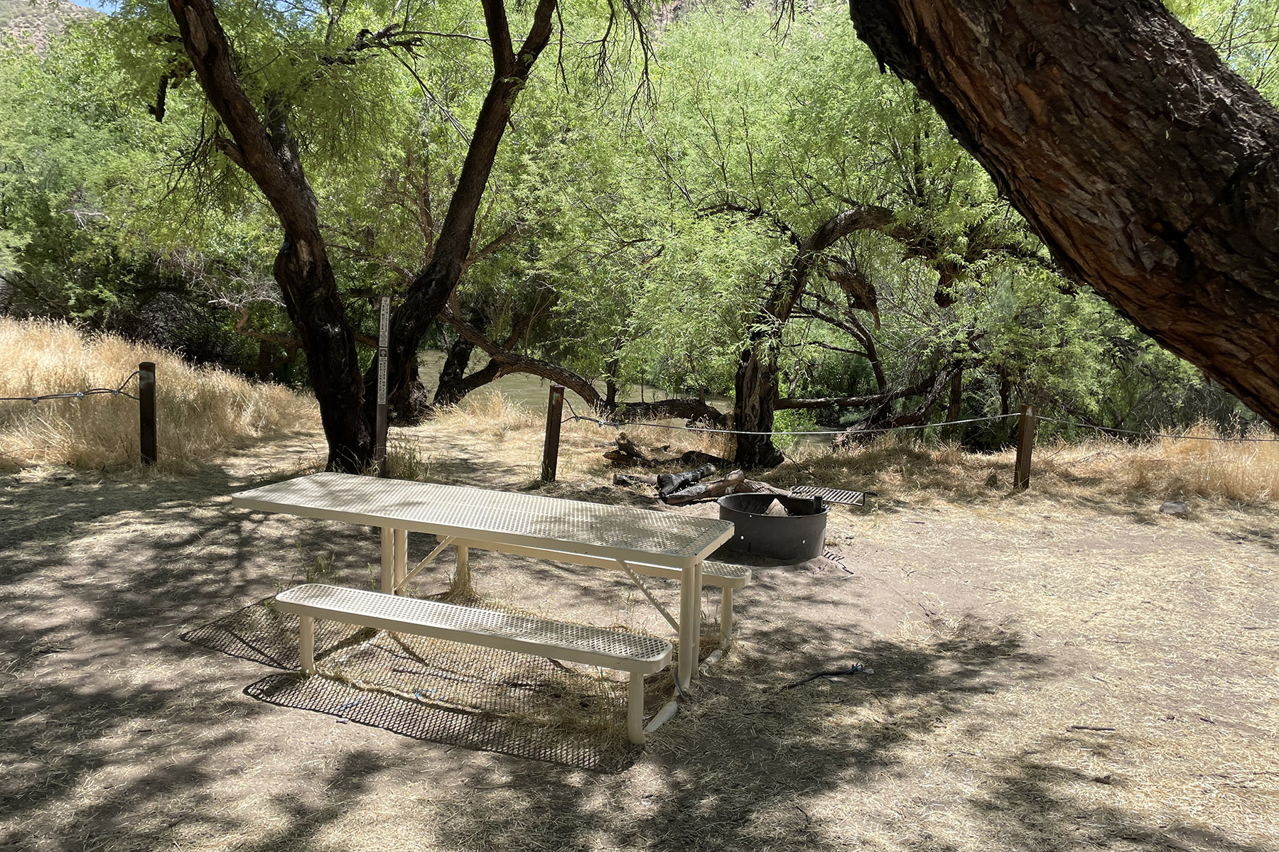
Come prepared. Weather and conditions may change quickly so pack accordingly. Always bring a first-aid kit, extra water, food and dry clothing.

Plan your route in advance. Stop by your local BLM field office to pick up hard-copy maps, and make sure your course is on public lands. Don’t enter private lands without contacting the landowner and getting permission first. Some BLM maps can also be found on the BLM website. 

Know your surroundings. Be on the lookout for other people and potential risks. Always be sure of your target and what is beyond.

Let others know your plans. Before leaving, make sure to touch base with someone and let them know where you will be, when you will be back and develop an emergency plan just in case. 

Make sure your equipment is in proper working condition. By checking your equipment, you decrease risk of injury to yourself and others and to avoid accidentally starting a wildfire on public lands. Take steps to make sure trailer chains aren’t dragging, and stay on roads and trails.

Practice Leave No Trace and Tread Lightly principles. Whenever you venture out on public lands, you should follow outdoor ethics to preserve the great outdoors for future generations. Do your part to keep public lands clean and prevent the spread of invasive species.

Protect yourself by wearing safety equipment. Always wear proper hearing protection and safety glasses. In addition, wear hunter orange when required. Wear a life vest if fishing from a boat, boardwalk, or dock.


Where to hunt and fish

822 Results
Chopaka tree
Chopaka tree

Chopaka Lake and Chopaka Mountain Wilderness Study Area

Hidden deep within the highlands of northern Okanogan County, visitors will discover a jewel of a mountain lake. Aspen tree groves and sagebrush line the shores, providing a scenic backdrop to many lakeside activities. Mountain goats are often seen high...
Iconograph of a bicyclist
BIKING
Iconograph of a person on a jet ski.
BOATING
Iconograph of a figure climbing a rock wall
CLIMBING
Iconograph of a tent.
CAMPING
Iconograph of a fish head and a fishing hook on a line
FISHING
Iconograph of two people wearing backpacks and using walking sticks
HIKING
Iconograph of a picnic table
PICNICKING
Iconograph of binoculars
WILDLIFE VIEWING
Iconograph of three evergreen trees
WILDERNESS
Iconograph of a picnic table
DAY USE AREA
Iconograph of a camera
PHOTOGRAPHY
Iconograph of a person paddling a kayak.
PADDLING
Iconograph of a person swimming
SWIMMING
Campsite
Campsite

Christmas Recreation Site

Along the Gila River in Arizona, the Christmas Recreation Site offers river-related recreation opportunities such as wildlife viewing, picnicking, camping, fishing and small craft floating.
Iconograph of a tent.
CAMPING
Iconograph of a fish head and a fishing hook on a line
FISHING
Iconograph of a picnic table
PICNICKING
Iconograph of binoculars
WILDLIFE VIEWING
Iconograph of two tents sites and a pine tree.
CAMPING AREA
Sunset atop Sand Rock in Lost Forest

Christmas Valley Back Country Byway

Interested in exploring Oregon's Outback, a place often overlooked by highway motorists on their way to well-known attractions? For those with the time and desire to turn off the beaten track onto a country road, the 93-mile-long Christmas Valley Back...
Iconograph of a telescope and stars.
STARGAZING
Iconograph of a tent.
CAMPING
Iconograph of a picnic table
DAY USE AREA
Iconograph of two people wearing backpacks and using walking sticks
HIKING
Iconograph of a spoked wheel and an arrowhead.
HISTORIC & CULTURAL SITE
Iconograph of a person looking through a scope on a rifle
HUNTING
Iconograph of a bicyclist going up a rocky hill.
MOUNTAIN BIKING
The letters OHV
OFF HIGHWAY VEHICLE
Iconograph of a camera
PHOTOGRAPHY
Iconograph of a picnic table
PICNICKING
Iconograph of three evergreen trees
WILDERNESS
Iconograph of binoculars
WILDLIFE VIEWING
Clackamas Wild and Scenic River

Clackamas Wild and Scenic River

This picturesque region within the Mt. Hood NF encompasses forested lands, wetlands, and rock cliffs. The area is recognizable by the truss bridge which connects walkers to a primitive day-use area.
Iconograph of a bicyclist
BIKING
Iconograph of a fish head and a fishing hook on a line
FISHING
Iconograph of two people wearing backpacks and using walking sticks
HIKING
Iconograph of a person in a wheelchair on a blue background.
ACCESSIBLE FACILITY OR ACTIVITY

Clark Mountain Camp

Clark Mountain Camp is located on the southern end of the Clark Mountain Range. It is also within the Clark Mountain Area of Critical Environmental Concern (ACEC). The site contains several picnic tables, a dual pit cooking grill and a...
Iconograph of a bicyclist
BIKING
Iconograph of a tent.
CAMPING
Iconograph of two people wearing backpacks and using walking sticks
HIKING
Iconograph of a person on horseback
HORSEBACK RIDING
Iconograph of a person looking through a scope on a rifle
HUNTING
Iconograph of binoculars
WILDLIFE VIEWING
Iconograph of a camera
PHOTOGRAPHY
Beach at Clark's Bay Day Use Area. Paved path accessing Devil's Elbow Campground from Clark's Bay Day Use Area.

Clark's Bay Day Use Area Shelter (MT)

Overview Clark's Bay Day Use Area is situated on the picturesque "Devil's Elbow" and Clark's Bay of Hauser Lake. Just a short drive from Helena, this area offers stunning views of the Big Belt and Elkhorn Mountains. The area is...
Iconograph of a person swimming
SWIMMING SITE
Iconograph of binoculars
WILDLIFE VIEWING
Iconograph of a person water skiing
WATER SPORTS
Iconograph of a letter V
VISITOR CENTER
Iconograph of a snowflake
WINTER SPORTS
Iconograph of two people wearing backpacks and using walking sticks
HIKING
Iconograph of a fish head and a fishing hook on a line
FISHING
Iconograph of a spoked wheel and an arrowhead.
HISTORIC & CULTURAL SITE
Iconograph of a person on a jet ski.
BOATING
Iconograph of a bicyclist
BIKING
Iconograph of a picnic table
DAY USE AREA
Iconograph of person looking at interpretive panel
INFORMATION SITE
Iconograph of a person paddling a kayak.
KAYAKING
Iconograph of a two people rowing a boat.
NON-MOTORIZED BOATING
Iconograph of a person paddling a kayak.
MOTOR BOAT
Iconograph of a person paddling a kayak.
PADDLE BOATING
Iconograph of a picnic table
PICNICKING
Iconograph of a sailboat.
SAILING
SAILBOARDING
SAILBOARDING
Iconograph of a person swimming
SWIMMING
Iconograph of a water waves
WATER ACCESS

Report Crimes

Please help preserve our heritage. Treat cultural sites with respect. Do not touch petroglyphs or remove artifacts. Report crimes to resources including vandalism, dumping and suspicious activity at 1-800-637-9152.

State Hunting/Fishing Information