
Chimney Rock Trail | Oregon
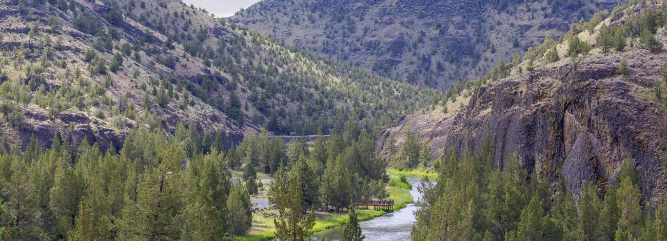
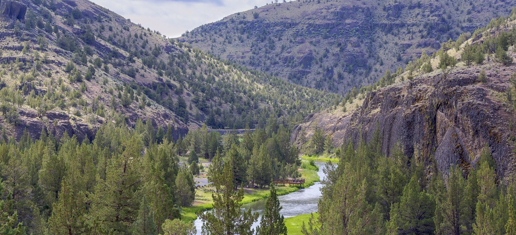
Take a break from your scenic drive along the Lower Crooked Wild and Scenic River south of Prineville and hike one of the gems of the High Desert. Walk in the shadows of lichen-covered basalt cliffs as you zigzag up and out of the river canyon to spectacular views of Central Oregon. The trek is about 1.3 miles and ends at the namesake chimney basalt rock formation. Pause on one of the benches along the way for a drink of water and just absorb the beauty of the area before heading back to your car and the rest of your travels.
Know Before You Go:
- Open YEAR ROUND but really nice in the spring or fall when a little moisture has tamped down the dust.
- Accessibility out and back trail, 2.6 miles round trip and a little steep at points.
- Amenities The trail is near Chimney Rock campground, with toilets and potable water near campsite 8.
- Pets are allowed but should on leash—and please pack out any waste!
Point of Interest:
This part of the Lower Crooked River has 9 campgrounds and 2 day-use areas. Come for the hike and stay for some wildlife viewing, fly-fishing, and camping!
Chimney Rock Brochure
360° from top of the Chimney Rock Trail
Photos


Accessibility Description (ABA/ADA)
Chimney Rock Trailhead and trail have no accessible facilities.
Contact Us

Activities


Addresses
Geographic Coordinates
Directions
Head south from Prineville on Highway 27 toward Bowman Dam and Prineville Reservoir about 16 miles. The trailhead is on the opposite side of the road from the Chimney Rock Campground.
Fees
No fees to park or hike