
Christmas Valley Back Country Byway | Oregon
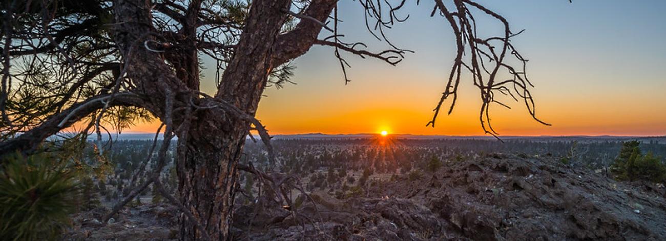
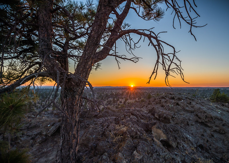
Interested in exploring Oregon's Outback, a place often overlooked by highway motorists on their way to well-known attractions? For those with the time and desire to turn off the beaten track onto a country road, the 93-mile-long Christmas Valley Back Country Byway provides access to breathtaking high desert landscapes and unique geological features. From off-highway vehicle use on dunes composed largely of ash and pumice that blew into the area 7,000 years ago when Mt. Mazama erupted to hiking in the remains of an eroded volcano, this area provides something for everyone.
- Check weather and road conditions ahead of time.
- Bring area-specific maps and route descriptions.
- Carry plenty of water and adequate fuel.
- Carry a spare tire, jack, tools, shovel, blanket, etc.
Point of Interest
The Black Hills Interpretive Site is a popular starting point for day hiking and photography. Accessible by foot or 4WD vehicle, it includes a parking area, fencing, and an interpretive sign.
Photos
Contact Us

Activities


Addresses
Directions
From La Pine, Oregon: Take Hwy 97 South for two miles; turn left onto Hwy 31 South; follow Hwy 31 South for 30 miles. The Byway start at the intersection of Hwy 31 and County Road 5-10.
Fees
No fees.