
Oregon/Washington Fire Closures & Restrictions
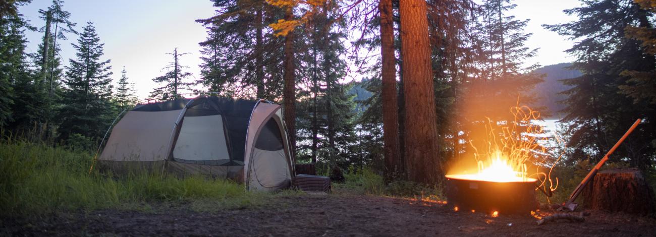
Fire restrictions and closures are one of the most effective tools that land management agencies can use to reduce the risk of human-caused wildfires during periods of high or extreme fire danger. Fire restrictions and closures are carefully considered and often change quickly due to variable weather conditions.
Fire closures will be enacted for actively burning fires or for areas that burned in the past and remain hazardous.
Fire restrictions can affect activities such as having a campfire, using a chainsaw, smoking, and accessing certain locations by vehicle or on foot. On average, an estimated 87 percent of wildfires nationally are caused by humans, so restrictions during high fire danger can help decrease the possibility of a new fire start.
Other federal, state, and local government agencies may have their own restrictions and closures for the lands under their management. For example, the Oregon Department of Forestry and the Washington Department of Natural Resources issue restrictions pertaining to public use and work-related activities in their respective states.
For your safety and the safety of first responders, please check for current fire restrictions and closures while planning your trip to public lands. Please consult Closures and Restrictions by District section.

Closures and Restrictions by District
The BLM has a fire restriction order that applies to all BLM-managed public lands in Oregon and Washington from May through October:
BLM, Wildland Fire Service announce fire restrictions for Oregon, Washington
Additional information related to District-specific fire restrictions and closures:
- Burns
Restrictions
- Coos Bay
Closures
Restrictions
- Lakeview
Restrictions
- Medford
Closures
- Fire Prevention Order Notice of Temporary Closure - East Evans Creek Fire | Map
- BLM reopens Lower Table Rock trails after improvements
Restrictions
- Northwest Oregon
Closures
Restrictions
- Prineville
Closures
- BLM closing public lands in portions of Jefferson and Deschutes Counties (July 17, 2026)
- BLM closing public lands in portions of Sherman, Gilliam, Wheeler, Jefferson, Crook, and Deschutes Counties (July 17, 2026)
- Rescission of Pine Mountain wildfire emergency closure
Restrictions
- Roseburg
Restrictions
- Spokane
Restrictions
- Vale
Restrictions
Partner Agency Fire Info Pages
- InciWeb National Fire Map
- Northwest Coordination Center Pacific Northwest Fire Map
- Northwest Coordination Center Predictive Services Fire Outlook for PNW
- Oregon Department of Forestry (ODF) Fire Info
- USDA Forest Service Region 6 Fire Restrictions
- USDA Forest Service Region 6 Fire Closures
- Washington State Department of Natural Resources Fire Info