
Adobe Badlands
Values
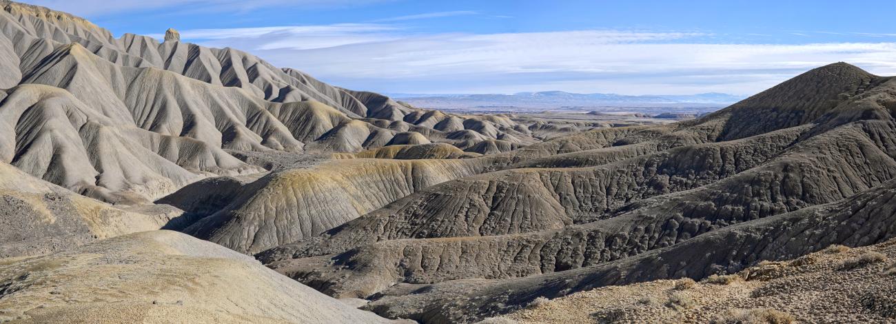
The Adobe Badlands WSA is composed of Mancos shale formations that create a sparsely vegetated badlands landscape known locally as "the dobies." The northern end of the WSA is mostly flat with occasional hills and becomes more rugged to the south with steep sided ridges dissected by serpentine canyons. The Devil's Thumb, a scenic pinnacle, is a predominant feature of this WSA. Vegetation includes low saltbush, desert trumpet, buckwheat, grasses, the Uinta Basin hookless cactus, and in the most northern portion, pinyon and juniper. Fauna includes deer, elk, pronghorn antelope, prairie dogs, badgers, coyotes, bobcats, red-tailed hawks and golden eagles. Within the Mancos shale formations are ancient marine deposits containing numerous fossils. High points of the WSA provide expansive views of the Grand Mesa, West Elk Mountains, and the San Juan Mountains. Activities include hiking, horseback riding, hunting, backpacking, and photography.
Visitation Information
From Highway 50 in Delta, CO, turn east onto H38 Rd, and then immediately left onto 1575 Rd, following signs to the Delta County Airport and Devil’s Thumb Golf Course. Follow 1575 Rd approximately 1 ¼ mile and turn left on the Devil’s Thumb Rd. Drive approximately 1 ½ miles and continue past the Devils Thumb Golf Course another ¾ mile to a parking area on the left. The last ¾ mile is part paved and part gravel road. Hike west cross country into the wilderness from the parking area.
Visitor Advisory
There are no trails, the area lacks water sources, is very hot and dusty in summer, and the clayey soils are difficult to walk across when wet. Off highway vehicle use in the WSA is illegal (prohibited under 43 CFR 8341.1).