
Maps and Data
Maps
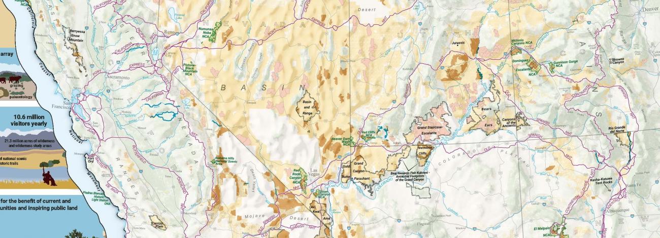
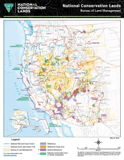
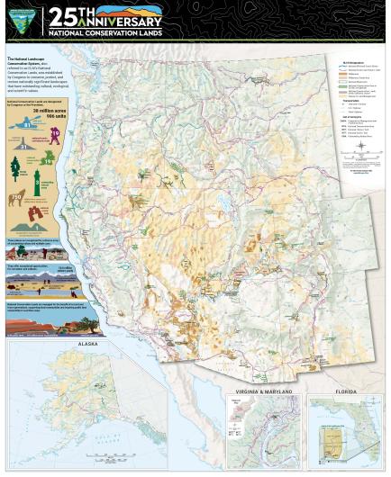
Maps reveal the breadth and diversity of the National Conservation Lands.
- National Conservation Lands Map - Overview (recommended for typical screen and print sizes)
- National Conservation Lands Map - Detailed (recommended for zoomed viewing and large print formats)
Data
The detail tables below provide designation dates, proclamations or public law references, and state-specific information on the acreage/mileage for each unit.
The summary tables below provide an overview of the acreage and mileage of the different designations in the National Conservation Lands.