
BLM Stream Gage Data Gulkana Wild and Scenic River, Alaska
This report summarizes gaging information collected by the Bureau of Land Management (BLM) and related US Geological Survey (USGS) gaging information between 1972 to 2016 in the Gulkana River watershed. Other relevant hydrologic and physical information collected in this watershed between 1949 and 2012 are also reported. This information is summarized to support achievement of various BLM management goals and objectives for this watershed with an emphasis on the Gulkana Wild and Scenic River Corridor system.
The 1980 Alaska National Interest Lands Conservation Act, Title 6, Section 1204 enabling legislation designated a portion of the Gulkana River watershed in Alaska (referred to as the Gulkana River Wild and Scenic River Corridor) as a new addition to the National Wild and Scenic River System (NWSRS). Congress established the NWRWS in 1966 (PLO 90--542, 16 U.S.C. 1271 et seq.). The Gulkana River corridor addition classifies approximately 181 river miles (291 km) as “wild” (i.e., water bodies considered free of impoundments, generally inaccessible except by trail, and its watersheds or shorelines are essentially primitive, unpolluted waters).
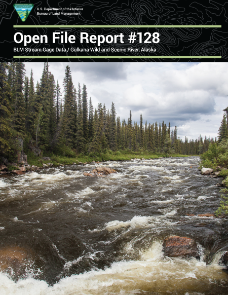
The Gulkana River watershed drains approximately 2,140 square miles (5,543 square kilometers), with the river originating in the Alaska Range near Summit Lake at about 3,806 feet (1,160 meters) and flowing south into the 290–mile (467 kilometers) Copper River, eventually draining into Prince William Sound. Several hundred lakes and ponds are scattered throughout the spruce-dominated forest of the watershed. The Gulkana River was designated as a wild and scenic river corridor based on its variety of high recreational, fish, wildlife, and other socio-economic values.
Management objectives established for the Gulkana Wild and Scenic River corridor include maintaining the pristine, free-flowing condition of the river and tributaries, optimal and long-term utilization of its fish and wildlife resources, and high-quality primitive recreational opportunities.
BLM long-term and relevant USGS historical gage data, BLM instantaneous gage data and other relevant hydrologic and physical information are summarized to support achievement of these and other BLM management goals and objectives for this Wild and Scenic River corridor and watershed.