
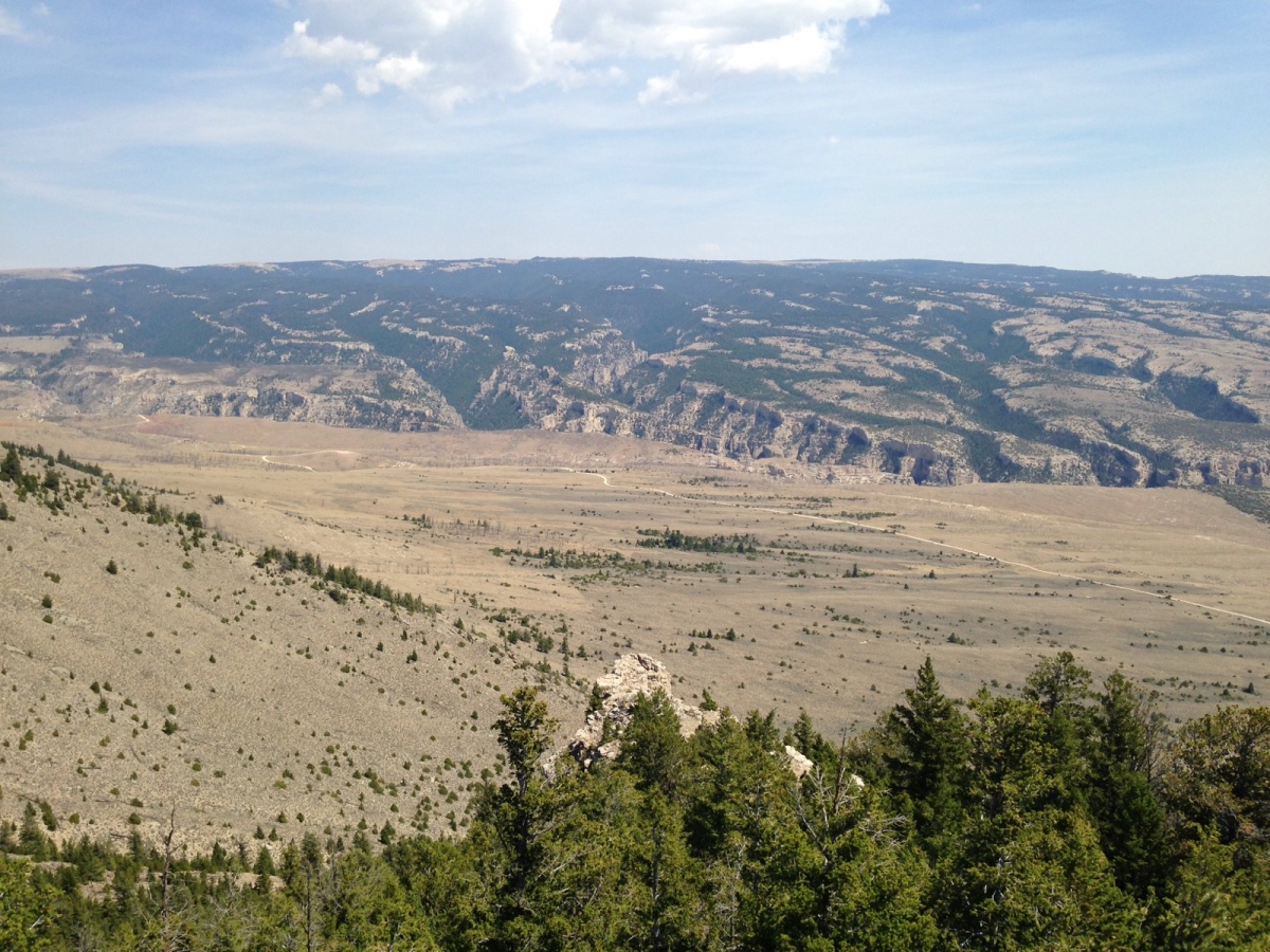
Burnt Timber Canyon WSA
Values
Burnt Lodge WSA is on the Missouri Plateau in the northern Great Plains. Spectacular riverbreaks topography formed by tributaries to the Missouri River have exposed shale and sandstone rock into steep south-facing badlands with little vegetative cover. Ridgetops and north-facing slopes are vegetated by prairie grasses and forbs along with scattered stands of ponderosa and lodgepole pine, juniper and Douglas fir. The landscape provides outstanding opportunities for solitude. Big game and upland bird hunting are popular activities here. Other recreation opportunities include hiking, backpacking, primitive camping, hunting, wildlife viewing, photography, and horseback riding.
Visitation
Burnt Timber Canyon WSA is approximately fourteen miles to the south of Lovell,WY. Burnt Timber WSA is most easily accessed via Crooked Creek Road. Directions off Hwy 310 turn left in downtown Cowley,WY onto County Road 7 ½. Country Road 7 ½ will fork into Gypsum Creek Road, turn left onto Gypsum Creek at the fork/ intersection. Follow Gypsum Creek Road Northwest until it intersects with Crooked Creek, turn right onto Crooked Creek Road. As you follow Crooked Creek Road the Burnt Timber WSA will be on your right.
Visitor Advisory
Four wheel drive vehicles are recommended on Crooked Creek Road. When in the WSA, foot travel along the canyon bottom is difficult because of steep, broken topography and dense undergrowth.