Redding Field Office
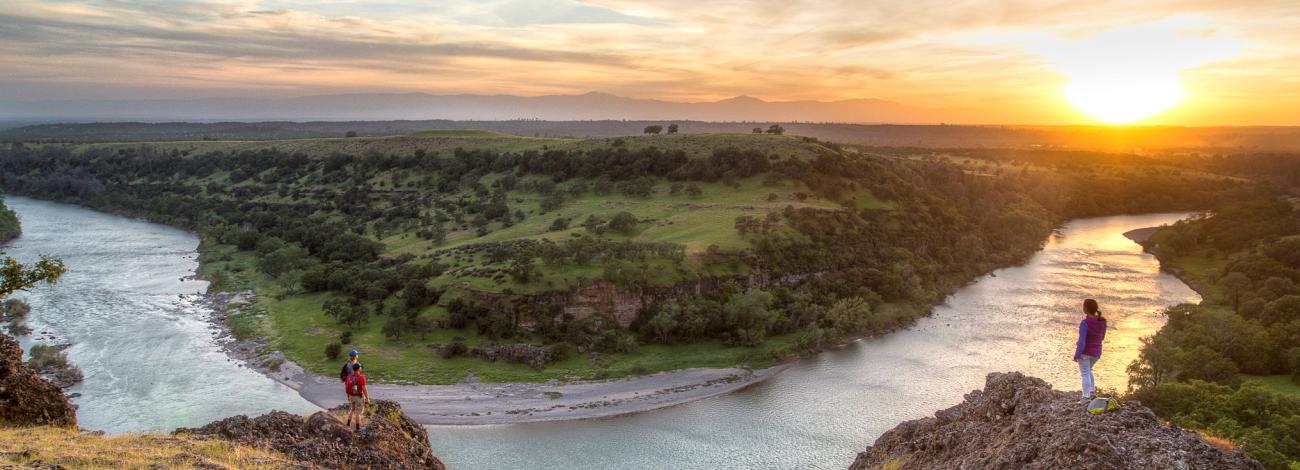
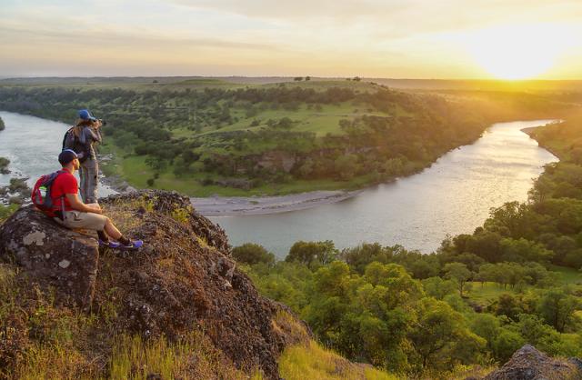
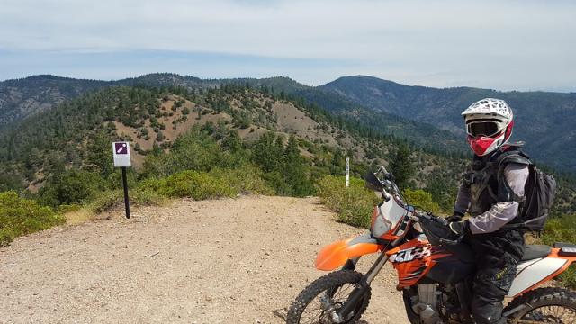
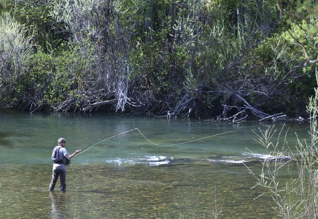
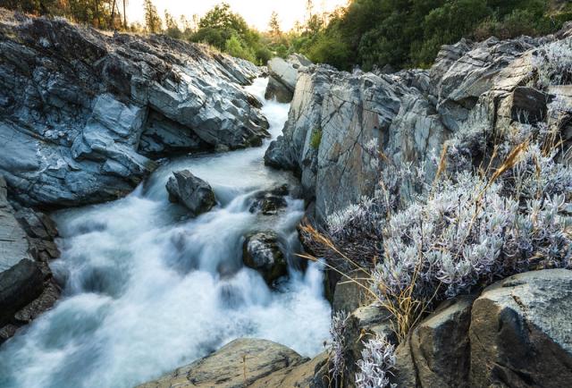
The Redding Field Office manages roughly 250,000 acres of public land across five northern California counties, from Tehama County in the south to Siskiyou County in the north. This area includes portions of the Sierra Nevada and Cascade Mountains and the Sacramento River Valley. Areas of interest include the Sacramento River Bend Area of Critical Environmental Concern, the Trinity River, the North Fork of the Trinity River, and the Klamath Wild and Scenic Rivers. Recreation areas near Redding include the Chappie-Shasta Off-Highway Vehicle Area, the Sacramento River Rail-Trail, the Swasey Recreation Area, and the Clear Creek Greenway, offering motorized and non-motorized opportunities. Primary programs within the office include recreation, minerals, realty, botany, wildlife, fuels and forestry.
More Recreation Areas
Campgrounds
- Douglas City Campground
- Steiner Flat Primitive Campground
- Steel Bridge Campground
- Junction City Campground
- Shasta Campground
Georeferenced Maps
Heading out for a remote adventure? No cell coverage? No problem. The BLM has developed georeferenced maps compatible with any georeferenced map mobile application. Click here for more information and instructions.
- Butte Creek Recreation Area
- Swasey Mule Mountain Recreation Area (2023)
- Clear Creek, Swasey, Mule Ridge
- Horsetown, Clear Creek Preserve
- Keswick Trails
- Rock Creek, Middle Creek
- Trinity River
- Chappie-Shasta Off-Highway Vehicle Area Northern Region
- Chappie-Shasta Off-Highway Vehicle Area Southern Region
PARTNERS
Leadership
Latest News
Contact
Redding, CA 96002
TTY/Relay System
If you are deaf, hard of hearing, or have a speech disability, please dial 7-1-1 to access telecommunications relay services.
NOTICES
The BLM is improving Weaver Creek south of the Mill Street Trailhead. Crews will use heavy equipment in the area. Public lands here are temporarily closed June 22–October 15, 2026. View order and map.
GET INVOLVED
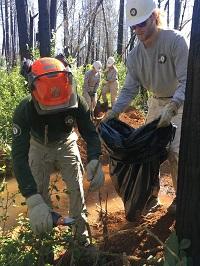
Volunteer opportunities with the Redding Field Office include: trail maintenance, trash cleanup, invasive plant management, educational presentations, campground host, and more.
If you are interested in participating in volunteer events please email [email protected], or complete an email form here.