
Arizona Strip District Office and Public Lands Information Center
The Arizona Strip District is the Bureau of Land Management’s northernmost district in Arizona, encompassing more than 2.7 million acres of remote public lands located north of the Grand Canyon and south of the Utah state line. The closest town to the east of the district is Page, Arizona, and the closest town to the west is Mesquite, Nevada. The public lands information center and district office are located in St. George, Utah, the largest nearby city.
As one of the most rugged and least developed regions in the lower 48 states, the Arizona Strip region requires careful planning and preparation. Visitors should be ready for remote backcountry travel on unimproved roads, limited services, and potentially extreme weather conditions.
The Arizona Strip District is managed for conservation, recreation, grazing, cultural resource protection, and a variety of multiple‑use activities. The district includes four management units: the Arizona Strip Field Office, Vermilion Cliffs National Monument, Grand Canyon–Parashant National Monument jointly managed under a service first agreement with the National Park Service, and the Baaj Nwaavjo I'tah Kukveni – Ancestral Footprints of the Grand Canyon National Monument jointly managed with the U.S. Forest Service.
Thank you for your patience!
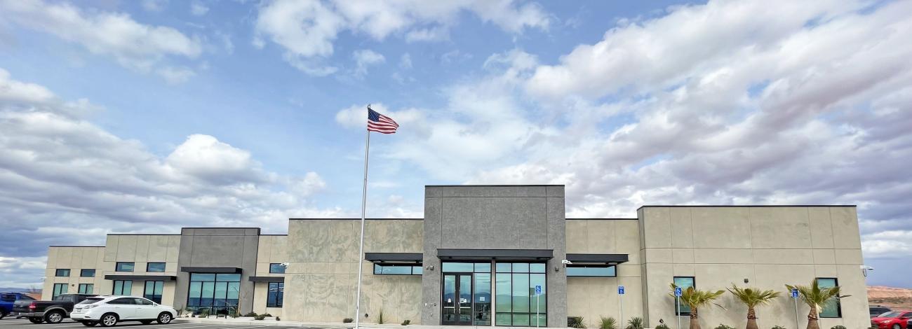
Please visit us at our BLM/NPS centralized location at 4001 East Aviator Drive (just east of the St. George Municipal Airport) to obtain maps, resource permits, and recreation information for the BLM Arizona Strip District, BLM St. George Field Office, Vermilion Cliffs National Monument, BLM/NPS Grand Canyon-Parashant National Monument and Baaj Nwaavjo I’tah Kukveni National Monument.
Arizona Strip Field Office
The BLM Arizona Strip Field Office is more than 1,145, 000 acres and is managed for recreation, grazing, and a variety of multiple‑use activities. Visitors can enjoy historic sites like the Old Spanish National Historic Trail and the Mt.Trumbull Schoolhouse.
Visit the Arizona Strip Field Office
Grand Canyon-Parashant National Monument
The Grand Canyon-Parashant National Monument is under joint management by the BLM and National Park Service through a service first agreement. Covering approximately one million acres of remote public lands, this monument is a scientific treasure, containing many of the same values that have long been protected in Grand Canyon National Park.
Visit the Grand Canyon-Parashant National Monument
Vermilion Cliffs National Monument
This remote, rugged monument is approximately 279,000 acres and is a geologic treasure with some of the most spectacular trails and views in the world. The monument contains many diverse landscapes, including the Paria Plateau, Vermilion Cliffs, Coyote Buttes, and Paria Canyon. The monument borders Kaibab National Forest to the west and Glen Canyon National Recreation Area to the east.
Visit the Vermilion Cliffs National Monument
Baaj Nwaavjo I'tah Kukveni-Ancestral Footprints of the Grand Canyon National Monument
Nestled between the Grand Staircase, Vermilion Cliffs, and Pipe Spring national monuments to the north and Grand Canyon National Park to the south, the BLM-administered parcels of the Baaj Nwaavjo I’tah Kukveni-Ancestral Footprints of the Grand Canyon National Monument offer spectacular, 360-degree views of some of the West’s most remote and secluded landscapes ideal for experiences in solitude. The 917,618-acre monument is jointly managed with the Bureau of Land Management administering a little more than 529,000 acres and the U.S. Forest Service administering approximately 388,000 acres.
Visit the Baaj Nwaavjo I'tah Kukveni-Ancestral Footprints of the Grand Canyon National Monument
Leadership
April Rabuck
Lorraine Christian
Brandon Boshell
Bob Bate
Offices
4001 East Aviator Drive
St. George, UT 84790
United States
Latest News
Contact
St. George, UT 84790
TTY/Relay System
If you are deaf, hard of hearing, or have a speech disability, please dial 7-1-1 to access telecommunications relay services.