Wyoming Mountain Biking Opportunities: Johnny Behind the Rocks
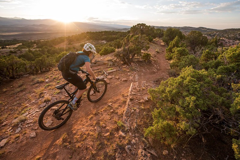
The Johnny Behind the Rocks Trail System provides mountain bikers with a high desert experiences in a compact area.
The trails within this network are flowing in nature with a hard-packed surface and fine grain soils. Most of the system is located on routes that climb to and traverse long and scenic ridgelines. The Wind River mountain range is visible on the western side of the system. The trails wind and meander through typical Great Basin terrain that ranges from clusters of pinyon-juniper woodlands and open sagebrush meadows. Although open year round, visitors wishing to ride on dirt rather than snow are usually restricted from mid-March to the end of November. Trails are often effectively closed during the spring thaw in early March due to extremely muddy conditions on some portions of the trail with high clay content.
One of the Bureau of Land Management's "Backyard to Backcountry" treasures, information on the Johnny Behind the Rocks Trails was developed between IMBA and the Lander, WY, BLM office to provide world-class riding experiences. IMBA's data on the trail includes elevations, ratings, current conditions, photos, and comments.


