
Colorado Mountain Biking Opportunities: Lunch Loops Trail
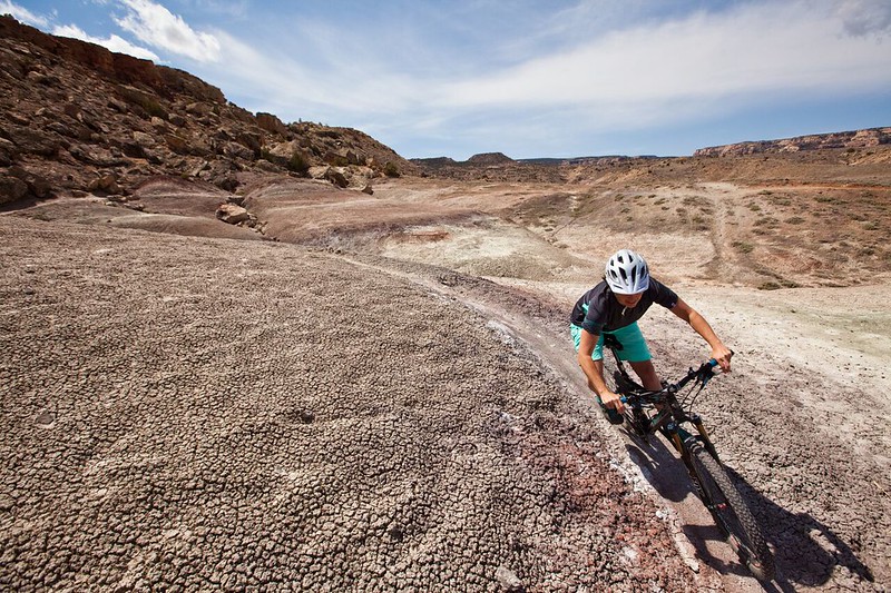
The Lunch Loops Trail System consists primarily of trails rated more difficult to very difficult. Two trails within the system, Free Lunch and Pucker Up are designated mountain bike only and open only to downhill travel. The trail system offers challenging terrain and spectacular views as it sits adjacent to the Colorado National Monument and Bangs Canyon. With challenging technical terrain this trail system will test advanced riders.
One of the Bureau of Land Management's "Backyard to Backcountry" treasures, information on the Lunch Loop Trail--Gunny Loop was developed between IMBA and the Grand Junction, CO, BLM office to provide world-class riding experiences. IMBA's data on the trail includes elevations, ratings, current conditions, photos, and comments.
Need to Know
![]()
![]()
![]()
Plan Your Visit
- Season Dates: January 1 - December 31
- Fee: None
- Size: 20+ miles
- Elevation Gain/Loss: 2,000+ feet
- Difficulty: Trails range from beginner to extremely difficult.
Directions
- From Grand Junction, travel west on Hwy 340 and take a left onto Monument Road and travel for approximately 1.8 miles. The trailhead (Tabeguache Trailhead) will be on your left.
Quick Links
- Lunch Loops Community Recreation Area
- Bangs Canyon OHV Trails
- Dominguez-Escalante National Conservation Area
- Photos
Contact Information
Grand Junction Field Office
2815 H Road
Grand Junction, CO 81506-1781
970-244-3000
Connecting with Communities

The BLM and MTB Project are Connecting with Communities through a National partnership to provide an interactive ride experience. MTB project hosts the next generation of mountain bike trail maps. Click the MTB Project icon to access all the information you'll need to plan your next ride.