
Gateway Extensive Recreation Management Area – Calamity Map
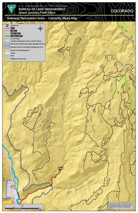
The Gateway ERMA - the Calamity map provides visitors with opportunities to participate in motorized exploration, scenic touring and heritage tourism along the mesas and side canyons east of the Dolores River, including Juanita Arch. Juanita Arch is the only natural bridge in Colorado which spans the creek of Maverick Canyon. The ERMA provides a recreation setting with a relatively unchanged, natural-appearing landscape. Visitors to this portion of the ERMA have the opportunity to explore and connect to other public lands managed by the Grand Junction Field Office.
Download Files
Publication Date
Region
Grand Junction FO
Organization
Collection: Public Room
Category: Map