
Halftime Takeaways: looking forward from the mid-point of this year’s core fire season
We find ourselves at the midway point another core fire season, but this year’s season has been unique. Characterized by a sluggish start and followed by a surprising surge in activity, the interplay between a wet winter and cool summer has set the stage for a season that defies conventional expectations, reminding us once again of nature’s unpredictable temperament.
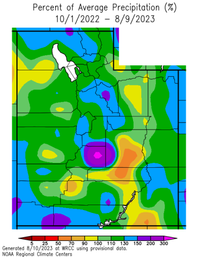
The early days of the fire season were marked by a contradictory sense of calmness and unease. Relaxation brought by a low likelihood of wildfires met with the necessity to fight wildfires. Since October 2022, across most (75%) of Utah, precipitation has been 10-30% above average, with some isolated higher percentages.
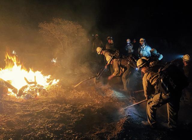
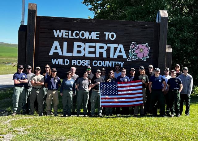
This led to many of our wildland firefighting personnel being available to assist with wildfires in different states, and even to Canada, as our neighbors to the north continue to see historic wildfires.
St. George experienced its hottest July on record with daytime highs averaging 107.4 degrees, 5 degrees warmer than St. George’s historical average for the month. Cedar City witnessed its second-hottest July on record and Salt Lake City experienced its third-hottest July.
For much of the Utah, the above average precipitation resulted in more vegetative cover than we are used to seeing and thus more fuel for potential wildfires. The heatwave rapidly accelerated the rate vegetation started to cure, or dry out, and we diligently watched the size of our wildfires grow, though still being well beneath the sizes we would expect for this time of year.
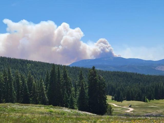
Following a week of increased heat, the I-70 Mile Marker 217 Fire, started by a broken-down vehicle, quickly grew to 1,800 acres over the course of 3 days – becoming the largest fire of the season at that point. A little over a week later, amid the record heatwave, the Rocky Fire started by a lightning strike just west of Dugway Proving Ground and grew to 1,300 acres after 2 days.
As we pass the halfway point of a slower fire season as we roll into August with cooler, moister airs thanks to the monsoon. So far this year, Utah has recorded 517 wildfires and 13,333 acres burned – that’s about 13% less fires and 54% less acres burned than the five-year average.
Nonetheless, we must not grow complacent. As I’m writing this, the Thompson Ridge Fire rages at a staggering 7,300 acres, outsizing what was previously our largest fire of the season by nearly 5,500 acres.
Related Stories
- Nine Miles of Prevention: The Fuel Break that turned the Fire
- Firefighters and Archaeologists Collaborate to Protect Historic Mining Site during Monroe Canyon Fire
- Community, Fire, and Enforcement
- BLM, U.S. Wildland Fire Service celebrate more than 20 years of wildland fire training partnership with Phoenix schools
- Explore, learn, connect: BLM sparks connection for the public with the lands they love through expert-led, engaging events