
Water Resources of the Delta Wild and Scenic River, Alaska Stream Gage Data, 1993–2022
This report summarizes stream gage information collected by the Bureau of Land Management (BLM) from 1993 through 2022 in the Delta River/Tangle Lakes watershed. The information presented supports achievement of various BLM management goals and objectives for this watershed, with an emphasis on the Delta Wild and Scenic River Corridor.
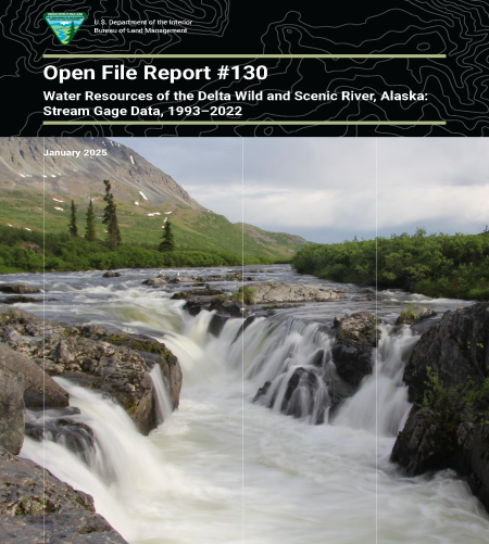
Title VI, Section 603, part C (47), of the 1980 Alaska National Interest Lands Conservation Act (ANILCA) designated the upper stretch of the Delta River watershed, all Tangle Lakes, and the Tangle River watershed (referred to as the Delta Wild and Scenic River Corridor) as a new addition to the National Wild and Scenic River System. Congress established the National Wild and Scenic River System in 1968 (PLO 90-542, 16 U.S.C. 1271 et seq.). The Delta Wild and Scenic River Corridor (WSRC) designation classifies approximately 18 river miles as “recreational” (i.e., readily accessible by road and having some development along shorelines) and approximately 20 river miles as “wild” (i.e., water bodies considered free of impoundments; generally inaccessible except by trail; and watersheds or shorelines of essentially primitive, unpolluted waters). ANILCA also designated but did not classify all the Tangle Lakes and the Tangle River as a component of this system (BLM, 1983).
The Delta River watershed just below Black Rapids drains approximately 280 square miles, with the river originating in the upper Tangle Lakes just east of Dickey Lake at about 3,000 feet and flowing north through the Alaska range. The Delta River eventually drains into the Tanana River (just north of Delta Junction) and then into the Yukon River, which meanders hundreds of miles through Alaska until it enters the Bering Sea. The Delta River was designated as a wild and scenic river based on its unique cultural, recreational, fish, wildlife, scenic, and other socio-economic values.
Management objectives established in the 1983 and 2013 River Management Plans for the Delta WSRC include maintaining the pristine, free-flowing condition of the river and tributaries; optimizing long-term use of its fish and wildlife resources; and maintaining high-quality, primitive recreational opportunities. This report summarizes BLM long-term streamflow data and other relevant hydrologic and physical information, supporting the goals of both River Management Plans, as well as other BLM goals and objectives for the Delta WSRC and watershed.