
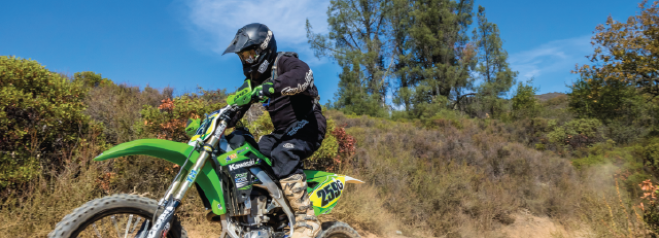
Off-Highway Vehicles on Public Lands
Numerous and diverse opportunities for off-highway vehicle (OHV) recreation exist on BLM-managed public lands. Miles of trails and open areas await all types of OHV enthusiasts. Please obey all signs regarding the management of public lands and routes.
Know where you are driving, respect private property, stay well away from livestock, and wildlife and their water sources. The BLM regulates the use of roads, trails, and land under its jurisdiction in order to meet specific land management objectives, to protect resources, and to provide public safety.
All off-highway vehicles must comply with State regulations and restrictions. Please make sure to check your State’s laws before enjoying OHV routes on public lands.
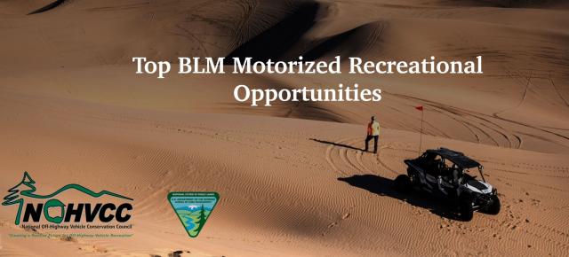
Top BLM motorized Recreational Opportunities Interactive Map
OHV Best Practices
The following list of tips should help OHV users and other recreationists appreciate and enjoy the use of public lands.
- OHV riders should wear protective helmets.
- Observe posted signs. Fenced areas mark sensitive wildlife and plant habitat, and are "closed" to vehicle use. The "open" riding areas are also posted and those on foot should be aware of their locations.
- All vehicles must be registered with the appropriate State agency where required.
- Motorcycles should be equipped with an approved spark arrester and muffler that meets State regulated noise standards.
- Tall flags on the vehicle is a best practice for visibility and safety.
- Consult a tide table booklet if operating on the coast.
- Please respect private property.
Where to ride
Report Crimes
Please help preserve our heritage. Treat cultural sites with respect. Do not touch petroglyphs or remove artifacts. Report crimes to resources including vandalism, dumping and suspicious activity at 1-800-637-9152.