
Bradley Dillon: The Man Who Measures America
BLM Idaho has partnered with the Idaho State Historical Society and the Idaho Society of Professional Land Surveyors for an event celebrating America’s 250th anniversary: the Boise Meridian Initial Point Celebration, scheduled for May 1st and 2nd, 2026. BLM Idaho is proud to celebrate America’s 250th anniversary by honoring cadastral surveyors—the professionals who have defined and preserved the boundaries of our public lands for generations. This profile is the third in a series celebrating BLM cadastral surveyors in the lead-up to the anniversary event in May.
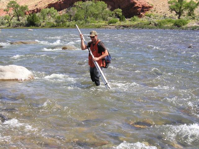
The river was cold and Bradley Dillon knew it the moment water punched through the hole in his waders. A telegram from Mother Nature: the land doesn’t care about comfort. His day turned soggy, but for a BLM Idaho cadastral surveyor, wet socks are part of identifying America’s federal land boundaries.
Bradley calls surveying “a blend of history, technology, math, science, art, problem solving, and a lot of MacGyvering daily.” Translation: every day is a surprise.
He has commenced work at four in the morning to outrun 120-degree heat. He has patched flat tires in the sagebrush, crossed rivers with leaking waders, coaxed metal detectors to find an iron post buried under a century of roots, watched cows topple a GPS base, measured “bearings” and “distances” in snow drifts, and started over more than once. And yet there are quiet moments—sun on his face, wildlife in his periphery, and the satisfaction of progress over perfection.
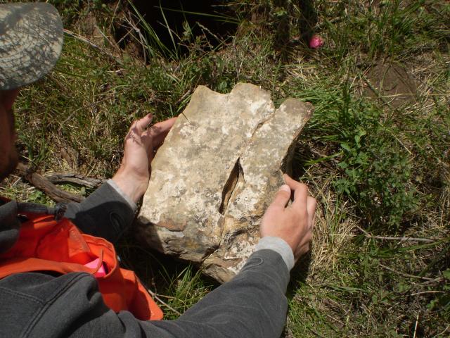
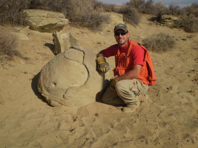
But nothing beats finding an original monument.
“Tracking an original monument is a time warp,” he says. “You’re walking where someone walked a century ago, reading their clues. You feel connected to the land and to them.”
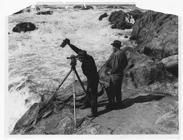
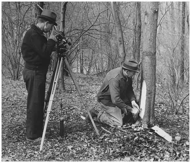
An original monument is a physical boundary marker—stone, charred wood, iron, or brass—set by the first surveyors in the late 1800s and early 1900s. They’re the bones of the Public Land Survey System. When one appears exactly where those early crews left it.
Bradley’s own story started with a hand‑drawn map of his family’s Michigan property—fields, trails, a creek, and a kid’s sense of place. Years later he watched surveyors set monuments along a lakefront and was hooked on math and meaning. “Measurement and math turning land into something defined and usable—it amazed me.”
Soon he was driving west in a Volkswagen Jetta, living for a moment in a travel trailer on BLM land near Rock Springs. “Romantic? Sort of,” he laughs. “It was an adventure. First time I’d ever been out west alone.” In 2011 he landed in Rawlins, Wyoming—newly married, freshly graduated, a baby on the way, and the only surveyor in the office. “Toughest thing I’ve ever done,” he says. “But it taught me resilience.”
Public Lands and America at 250
Growing up in Michigan—where public land is rare—gave Bradley a reverence for the West’s wide freedom. “BLM lands belong to everyone,” he says. “It’s meaningful to steward something that big.”
As America approaches its 250th birthday, Bradley’s role threads directly back to the country’s beginnings. Cadastral surveying descends from the Land Ordinance of 1785—the nation’s original promise to measure, define, and understand the vast public domain.
“I preserve boundaries that trace back to that promise,” he says. “It’s the framework that lets people explore, recreate, work, and manage responsibly today.”
He knows boundaries have two sides—federal land and private land—and he stands in the middle, impartial. “We make it clear,” he says. “So people can live, work, and explore without conflict.”
He’s walked Wyoming’s Red Desert until he knew every drainage by heart. He survived Nevada’s desert‑urban chaos. Learned Idaho’s forests and high desert by boot and by blister. Through it all, the mission stayed the same: keep the American landscape legally intact.
“Surveying is foundational,” Bradley says. “Everything else depends on it.”
And that’s why Bradley’s work matters as America turns 250. His tools might be modern—Global Navigation Satellite Systems (GNSS) receivers, data collectors, metal detectors—but the promise he protects is old. Every monument he finds, every line he re‑establishes, keeps the country’s original land system standing strong. Out under Idaho’s wide sky, Bradley Dillon is one of the quiet few still measuring the story of America—one boundary at a time.
Check out other profiles in the series celebrating BLM cadastral surveyors in the lead-up to the anniversary event in May.
- Tracing freedom’s lines: How a BLM surveyor honors America’s 250-year legacy
- Wilderness to boundaries: How a BLM surveyor keeps America’s 250-year legacy alive | Bureau of Land Management
- Come out to our Freedom 250 Boise Meridian Initial Point Celebration.
- As a teaser for the event, BLM Cadastral Surveyor John Zink recently joined The Ranch Podcast to share insights on Idaho's Initial Point - the starting mark for all public land surveys in the state.
- Check out The Greatest Career You've Never Heard Of - Land Surveying with Michael Hart
Related Content
Related Stories
- Freedom and Liberty Bring the Spirit of the West to Northern Virginia
- BLM-authorized rights of way on public lands connect Arizona’s economy, communities
- Sharing the Spirit of America: A Celebration on the Snake River Canyon Rim
- BLM Launches a Modernized General Land Office Records System
- Birding Aravaipa Canyon: A morning of songs, color, and creekside adventure
Office
1387 S. Vinnell Way
Boise, ID 83709
United States