Salmon River Watershed
The Salmon River drains to Kuskokwim Bay in Southwest Alaska and is accessible by road from the community of Platinum. All five species of Pacific Salmon use this watershed and a USFWS weir has operated at the mouth of the river since 2023. Chum, pink, and sockeye salmon return in the 1000s and peak run timing occurs in late July to early August for all species except for coho, which return in late August.
The Salmon River drainage has been mined nearly continuously since 1927 when hand mining operations began in the shallow gravels of Salmon River tributaries. In 1934, a new operator shipped equipment and supplies necessary to set up a complete and self-sufficient modern mining camp to Goodnews Bay. Early in 1935 the Goodnews Bay Mining Company was incorporated, consolidating and acquiring title to over 150 claims. A dredge was purchased in 1937, which allowed the mining of deep reserves of platinum and considerably more ground.
Tailings were discharged from the dredge by a 140-foot-long stacker, which created formidable tailing piles. During World War II, when most gold mining operations were shut down, the platinum mined by the Goodnews Bay Mining Company was listed as critical and the mine was one of few that continued to operate through the war.
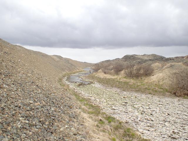
The Goodnews Bay platinum mine produced about 650,000 ounces of platinum. The dredge and dragline created about 44 million cubic yards of tailings and waste rock; the magnitude of which is difficult to comprehend. The 44 million cubic yards of tailings would cover the area of a football field over 27,000 feet deep, exceeding the vertical height of Mt. McKinley!
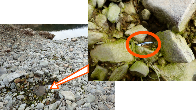
The extensive tailings in the Salmon River watershed block salmon migrations in the mainstem during summer low flows and permanently block access to some tributaries. According to the USGS National Hydrography Dataset (NHD), the drainage network comprises 59 miles of streams. Currently, during the summer months, fish only have access to approximately 7 miles of stream habitat. Observations along the intermittent sections of stream found blocked adult migrations to spawning areas and mortality of rearing juveniles.
In collaboration with partners, the BLM and USFWS are planning a multi-year effort to close key data gaps necessary to develop a restoration plan that improves watershed conditions and provides salmon and other fish species full access to spawning and rearing habitats.
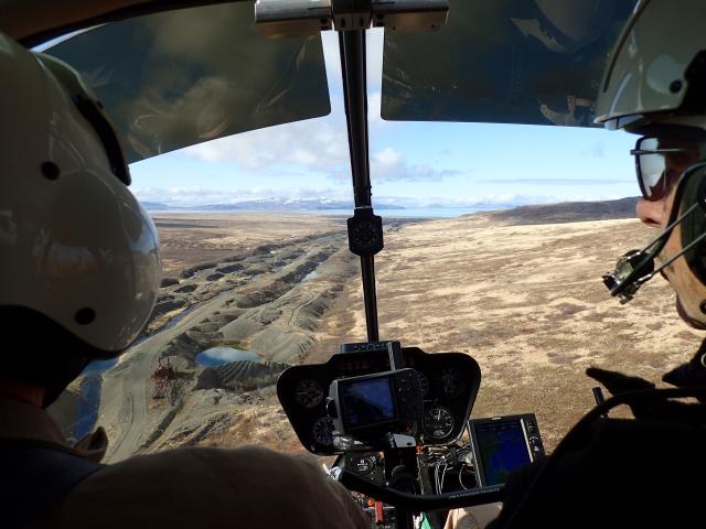
In 2025, BLM worked with the Salcha-Delta Soil and Water Conservation District to collect LiDAR data for much of the Salmon River watershed. This information will be foundational to restoration planning intended to improve fish passage and overall watershed condition. Additionally, BLM staff spent about a week on site collecting data to understand the range of conditions present along the Salmon River and its tributaries, as well as in adjacent watersheds. The collected information will be summarized in early 2026 and help inform restoration plan development and future treatment actions.
The BLM held a stakeholder meeting in January 2026 at the Campbell Tract Facility in Anchorage to discuss fish passage issues at the Salmon River. Staff from BLM and U.S. Fish and Wildlife Service staff presented on the mining history and legacy impacts, mining regulations, fisheries studies, and fish passage challenges and data collection needs. Participants from local community groups, industry, state and federal agencies, and conservation partners were invited to ask questions and share viewpoints on fish passage issues in the watershed. Documents provided before the meeting included a briefing paper and trip report from 2025.