Nome Creek Watershed
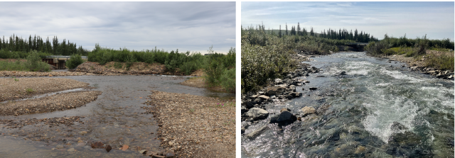
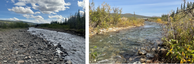
Nome Creek supports a popular grayling fishery in the White Mountains National Recreation Area and is a major tributary of the Beaver Creek Wild and Scenic River. This area often sees high levels of visitation due to the nearby BLM designated campgrounds (Ophir Creek and Mt. Prindle), and recreation opportunities, such as hiking, gold-panning, and boating (White Mountains National Recreation Area | Bureau of Land Management).
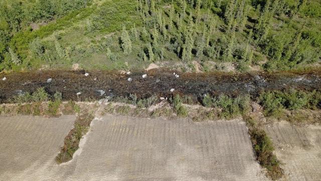
Like Wade Creek, Nome Creek has a rich history of placer mining and is the focus of several habitat improvement projects. Much of the past work is summarized in BLM Open File Report 113 (BLM 2007). Much like Wade Creek, this project seeks to continue the stabilization of closed federal claims and abandoned mine lands in the watershed and address stream alignment issues which contribute to erosion of the Nome Creek Road and risks to the bridge crossing. Unlike Wade Creek, Nome Creek has limited infrastructure in the valley and no remaining federal mining claims.
Initial work began in 2023 with over 1,000 feet of stream channel restored to enhance habitats for Arctic grayling using a combination of proven techniques and experimental methods. The project included channel realignment to reduce impacts to the road and bridge supports. Work to restore both stream and floodplain conditions using a variety of various methods began in 2024 and will continue into the future. Like Wade Creek, the BLM developed a comprehensive monitoring program to assess the effectiveness of restoration along the 8-miles of stream planned for treatment.