
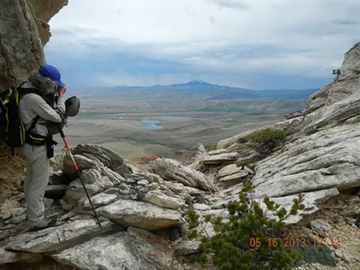
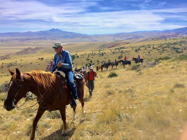
Bald Ridge Trail | Wyoming
This horseback riding and hiking trail winds for five miles through BLM-managed public lands and state lands to Bald Ridge in the Shoshone National Forest. The elevation ranges from 4,880’-8,400’. Spectacular views of the Clarks Fork of the Yellowstone River to the west and of Heart Mountain to the east await you.
Pronghorn, mule deer, moose, elk, and grizzly and black bears may be encountered along this trail. Waterfowl are often found at the lakes near the trailhead and soaring raptors are often sighted.
The trail is steep and arduous requiring good physical condition of both humans and horses. The trail is marked by trail signs and then rock cairns as it winds up Bald Ridge. The middle and upper portions are not marked or constructed; users must pick their own route up the mountain.
BLM-administered public lands in the Bald Ridge area are closed to human presence from January 1 - April 30 each year to protect the wintering big game.
This is grizzly bear country, so, be bear aware!
Photos
BLM Wyoming Know Before You Go
BALD RIDGE TRAIL PHOTOS
GEOREFERENCED MAPS
Contact Us

Activities


Addresses
Directions
This site is located 18 miles north of Cody off Wyoming State Highway 120. Turn left onto Park County Road 7RP and continue approximately five miles; look for the Hogan-Luce Trailhead sign and take a left onto the one-mile long access road to the site.