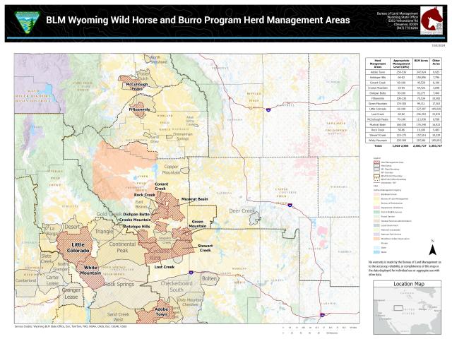
Fifteenmile HMA
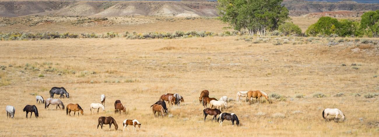
Bays and sorrels, along with some grays, roans and pintos, roam the herd management area (HMA).
Location: The Fifteenmile HMA is located in the upper Fifteenmile Creek watershed approximately 30 miles northwest of Worland, in a very remote part of the Bighorn Basin. It encompasses over 81,000 acres of mostly public land with some intermingled state and private lands. The first recorded wild horse gather on federal rangeland took place in October 1938 on lands that now make up the Fifteenmile HMA.
Administered by: Worland Field Office
Size: 81,000 acres.
Topography/Vegetation: The HMA ranges from rolling hills to rugged canyons and badlands. The country is semi-arid with hot summers and cold winters. Precipitation averages approximately eight inches per year. Part of the HMA lies within the Bobcat Draw Wilderness Study Area, with its colorful and intricately-carved formations known as hoodoos, goblins, mushrooms, and castles.
AML: 100-230
Photo courtesy Renee Lund.